找回密码
 To register

QQ登录

只需一步,快速开始

扫一扫,访问微社区

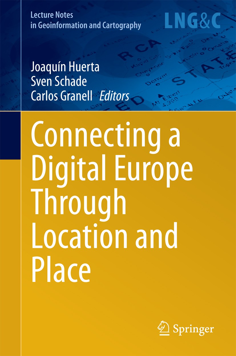
Titlebook: Connecting a Digital Europe Through Location and Place; Joaquín Huerta,Sven Schade,Carlos Granell Book 2014 Springer International Publish

[复制链接]
查看: 30220|回复: 50
发表于 2025-3-21 17:43:16 | 显示全部楼层 |阅读模式
书目名称Connecting a Digital Europe Through Location and Place
编辑Joaquín Huerta,Sven Schade,Carlos Granell
视频video
概述Based on the annual international AGILE conference and continuing a series that started in 2008.High-quality state-of-the-art research papers in the field of GI science.Especially focuses on GI scienc
丛书名称Lecture Notes in Geoinformation and Cartography
图书封面Titlebook: Connecting a Digital Europe Through Location and Place;  Joaquín Huerta,Sven Schade,Carlos Granell Book 2014 Springer International Publish
描述.This book collects innovative research presented at the 17th Conference of the Association of Geographic Information Laboratories for Europe (AGILE) on Geographic Information Science, held in 2014 in Castellón, Spain. The scientific papers cover a variety of fundamental research topics as well as applied research in Geospatial Information Science, including measuring spatiotemporal phenomena, crowdsourcing and VGI, geosensor networks, indoor navigation, spatiotemporal analysis, modeling and visualization, spatiotemporal decision support, digital earth and spatial information infrastructures..The book is intended for researchers, practitioners, and students working in various fields and disciplines related to Geospatial Information Science and technology..
出版日期Book 2014
关键词AGILE 2014; Digital Earth and Digital Science; Geographic Information Science; Interoperability and Use
版次1
doihttps://doi.org/10.1007/978-3-319-03611-3
isbn_softcover978-3-319-37979-1
isbn_ebook978-3-319-03611-3Series ISSN 1863-2246 Series E-ISSN 1863-2351
issn_series 1863-2246
copyrightSpringer International Publishing Switzerland 2014
The information of publication is updating

书目名称Connecting a Digital Europe Through Location and Place影响因子(影响力)


书目名称Connecting a Digital Europe Through Location and Place影响因子(影响力)学科排名


书目名称Connecting a Digital Europe Through Location and Place网络公开度


书目名称Connecting a Digital Europe Through Location and Place网络公开度学科排名


书目名称Connecting a Digital Europe Through Location and Place被引频次


书目名称Connecting a Digital Europe Through Location and Place被引频次学科排名


书目名称Connecting a Digital Europe Through Location and Place年度引用


书目名称Connecting a Digital Europe Through Location and Place年度引用学科排名


书目名称Connecting a Digital Europe Through Location and Place读者反馈


书目名称Connecting a Digital Europe Through Location and Place读者反馈学科排名


单选投票, 共有 1 人参与投票
 

0票 0.00%

Perfect with Aesthetics


1票 100.00%

Better Implies Difficulty


0票 0.00%

Good and Satisfactory


0票 0.00%

Adverse Performance


0票 0.00%

Disdainful Garbage

您所在的用户组没有投票权限
发表于 2025-3-21 22:30:44 | 显示全部楼层
发表于 2025-3-22 00:39:46 | 显示全部楼层
发表于 2025-3-22 05:46:01 | 显示全部楼层
发表于 2025-3-22 09:57:22 | 显示全部楼层
发表于 2025-3-22 15:57:59 | 显示全部楼层
发表于 2025-3-22 17:36:02 | 显示全部楼层
Using GPS Logs to Identify Agronomical Activitiesesides recognizing their daily movements, the approach enables the collection of data about the shape and size of land parcels belonging to the company’s clients. The work developed involved the design of spatial movement patterns for data collection through GPS logs, with minimal disruption of the
发表于 2025-3-23 00:09:59 | 显示全部楼层
Assessing the Influence of Preprocessing Methods on Raw GPS-Data for Automated Change Point Detectiomprehensive body of literature discussing algorithms and methods to find the right segments using mainly velocity-, acceleration- and accuracy-values. Less work is dedicated to the derivation of those variables. The goal of this chapter is to identify the most efficient way to preprocess GPS traject
发表于 2025-3-23 05:26:33 | 显示全部楼层
发表于 2025-3-23 08:20:55 | 显示全部楼层
STCode: The Text Encoding Algorithm for Latitude/Longitude/Timech a string is used for several purposes. One of the most frequent is probably its use as a part of a URL or as a hashtag of ad hoc data. An important part of spatially referenced data can be also a timestamp, but current encoding methods do not allow to encode the temporal dimension. In this chapte
 关于派博传思  派博传思旗下网站  友情链接
派博传思介绍 公司地理位置 论文服务流程 影响因子官网 SITEMAP 大讲堂 北京大学 Oxford Uni. Harvard Uni.
发展历史沿革 期刊点评 投稿经验总结 SCIENCEGARD IMPACTFACTOR 派博系数 清华大学 Yale Uni. Stanford Uni.
|Archiver|手机版|小黑屋| 派博传思国际 ( 京公网安备110108008328) GMT+8, 2025-6-25 10:46
Copyright © 2001-2015 派博传思   京公网安备110108008328 版权所有 All rights reserved
快速回复 返回顶部 返回列表