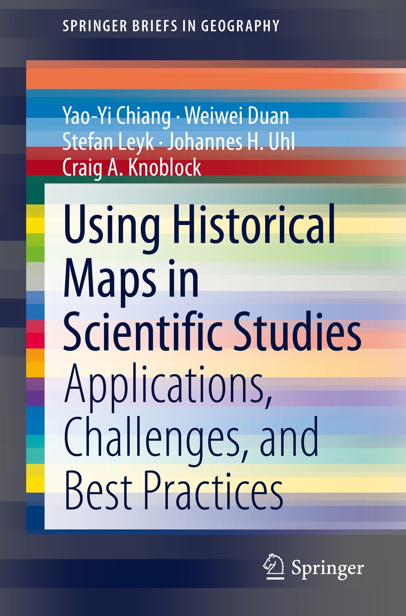
| 书目名称 | Using Historical Maps in Scientific Studies |
| 副标题 | Applications, Challe |
| 编辑 | Yao-Yi Chiang,Weiwei Duan,Craig A. Knoblock |
| 视频video | http://file.papertrans.cn/945/944567/944567.mp4 |
| 丛书名称 | SpringerBriefs in Geography |
| 图书封面 |  |
| 描述 | This book illustrates the first connection between the map user community and the developers of digital map processing technologies by providing several applications, challenges, and best practices in working with historical maps. After the introduction chapter, in this book, Chapter 2 presents a variety of existing applications of historical maps to demonstrate varying needs for processing historical maps in scientific studies (e.g., thousands of historical maps from a map series vs. a few historical maps from various publishers and with different cartographic styles). Chapter 2 also describes case studies introducing typical types of semi-automatic and automatic digital map processing technologies. .The case studies showcase the strengths and weaknesses of semi-automatic and automatic approaches by testing them in a symbol recognition task on the same scanned map. Chapter 3 presents the technical challenges and trends in building a map processing, modeling, linking, and publishing framework. The framework will enable querying historical map collections as a unified and structured spatiotemporal source in which individual geographic phenomena (extracted from maps) are modeled (des |
| 出版日期 | Book 2020 |
| 关键词 | Extracting data; Historical maps; Modeling; Map modeling; Map applications; Digital map processing; Docume |
| 版次 | 1 |
| doi | https://doi.org/10.1007/978-3-319-66908-3 |
| isbn_softcover | 978-3-319-66907-6 |
| isbn_ebook | 978-3-319-66908-3Series ISSN 2211-4165 Series E-ISSN 2211-4173 |
| issn_series | 2211-4165 |
| copyright | The Author(s), under exclusive license to Springer Nature Switzerland AG 2020 |
 |Archiver|手机版|小黑屋|
派博传思国际
( 京公网安备110108008328)
GMT+8, 2025-12-14 18:33


