找回密码
 To register

QQ登录

只需一步,快速开始

扫一扫,访问微社区

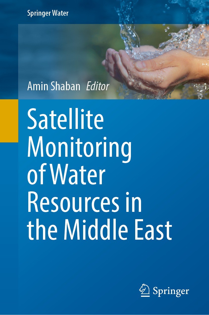
Titlebook: Satellite Monitoring of Water Resources in the Middle East; Amin Shaban Book 2022 The Editor(s) (if applicable) and The Author(s), under e

[复制链接]
查看: 48224|回复: 61
发表于 2025-3-21 16:44:24 | 显示全部楼层 |阅读模式
书目名称Satellite Monitoring of Water Resources in the Middle East
编辑Amin Shaban
视频video
概述Use of satellites in studying water resources in the Middle East Region.Variety of Illustrations including colour photos, maps, cross-sections and satellite images.New measurements on water resources
丛书名称Springer Water
图书封面Titlebook: Satellite Monitoring of Water Resources in the Middle East;  Amin Shaban Book 2022 The Editor(s) (if applicable) and The Author(s), under e
描述.This book presents both updated and new measurements on water resources from selective pilot areas form the Middle East. Demand for water has become very crucial notably in arid and semiarid regions like in the Middle East. The changing climate and the increased population are the most striking challenges on water resources in this region where the largest part of its territory is dry lands and deserts with minimal precipitation and high evaporation rates, and thus, the average per capita of water does not exceed 25 m3/year. This resulted in developing many studies and researches in different Middle East countries to clearly identify and assess the hydrological characteristics of the available water resources and to explore new resources in order to secure balanced water supply/demand. .As a first of its type, this book introduces comprehensive knowledge on the successful reports of the use of satellite images in water studies in the Middle East, and the economicvalue resulted from adopting these techniques. Based on illustrated case-studies the book will represent a significant resource for a large number of experts, academics, researchers, engineers and different-level stakehold
出版日期Book 2022
关键词Groundwater Exploring; Alternative Water Resources; Mapping Water Basins; Water Scarcity; Image Processi
版次1
doihttps://doi.org/10.1007/978-3-031-15549-9
isbn_softcover978-3-031-15551-2
isbn_ebook978-3-031-15549-9Series ISSN 2364-6934 Series E-ISSN 2364-8198
issn_series 2364-6934
copyrightThe Editor(s) (if applicable) and The Author(s), under exclusive license to Springer Nature Switzerl
The information of publication is updating

书目名称Satellite Monitoring of Water Resources in the Middle East影响因子(影响力)


书目名称Satellite Monitoring of Water Resources in the Middle East影响因子(影响力)学科排名


书目名称Satellite Monitoring of Water Resources in the Middle East网络公开度


书目名称Satellite Monitoring of Water Resources in the Middle East网络公开度学科排名


书目名称Satellite Monitoring of Water Resources in the Middle East被引频次


书目名称Satellite Monitoring of Water Resources in the Middle East被引频次学科排名


书目名称Satellite Monitoring of Water Resources in the Middle East年度引用


书目名称Satellite Monitoring of Water Resources in the Middle East年度引用学科排名


书目名称Satellite Monitoring of Water Resources in the Middle East读者反馈


书目名称Satellite Monitoring of Water Resources in the Middle East读者反馈学科排名


单选投票, 共有 1 人参与投票
 

0票 0.00%

Perfect with Aesthetics


0票 0.00%

Better Implies Difficulty


0票 0.00%

Good and Satisfactory


1票 100.00%

Adverse Performance


0票 0.00%

Disdainful Garbage

您所在的用户组没有投票权限
发表于 2025-3-21 21:37:33 | 显示全部楼层
发表于 2025-3-22 03:12:59 | 显示全部楼层
The Suitability of Satellite Remote Sensing and GIS Technologies for Mapping, Monitoring and Managiginate in neighbouring countries. Overall, the water supply to the Middle East is falling and this trend is liable to continue. Whilst the demand for water consumption is increasing to meet the demands for expanding industrialisation, agriculture, population growth and the increase in living standar
发表于 2025-3-22 06:40:03 | 显示全部楼层
发表于 2025-3-22 09:38:36 | 显示全部楼层
发表于 2025-3-22 15:37:32 | 显示全部楼层
GIS-Based Multi-criteria Approach to Assess Water Resources Vulnerability in a Changing Climate ovel indicators are selected representing three key vulnerability components: exposure, sensitivity, and adaptive capacity. Although vulnerability is a theoretical concept, the use of geospatial indicators helps to transform the concept from theoretical to quantifiable. Here, the vetted multi-step proc
发表于 2025-3-22 19:22:46 | 显示全部楼层
发表于 2025-3-22 21:24:10 | 显示全部楼层
发表于 2025-3-23 02:14:30 | 显示全部楼层
发表于 2025-3-23 08:05:44 | 显示全部楼层
 关于派博传思  派博传思旗下网站  友情链接
派博传思介绍 公司地理位置 论文服务流程 影响因子官网 SITEMAP 大讲堂 北京大学 Oxford Uni. Harvard Uni.
发展历史沿革 期刊点评 投稿经验总结 SCIENCEGARD IMPACTFACTOR 派博系数 清华大学 Yale Uni. Stanford Uni.
|Archiver|手机版|小黑屋| 派博传思国际 ( 京公网安备110108008328) GMT+8, 2025-5-6 05:29
Copyright © 2001-2015 派博传思   京公网安备110108008328 版权所有 All rights reserved
快速回复 返回顶部 返回列表