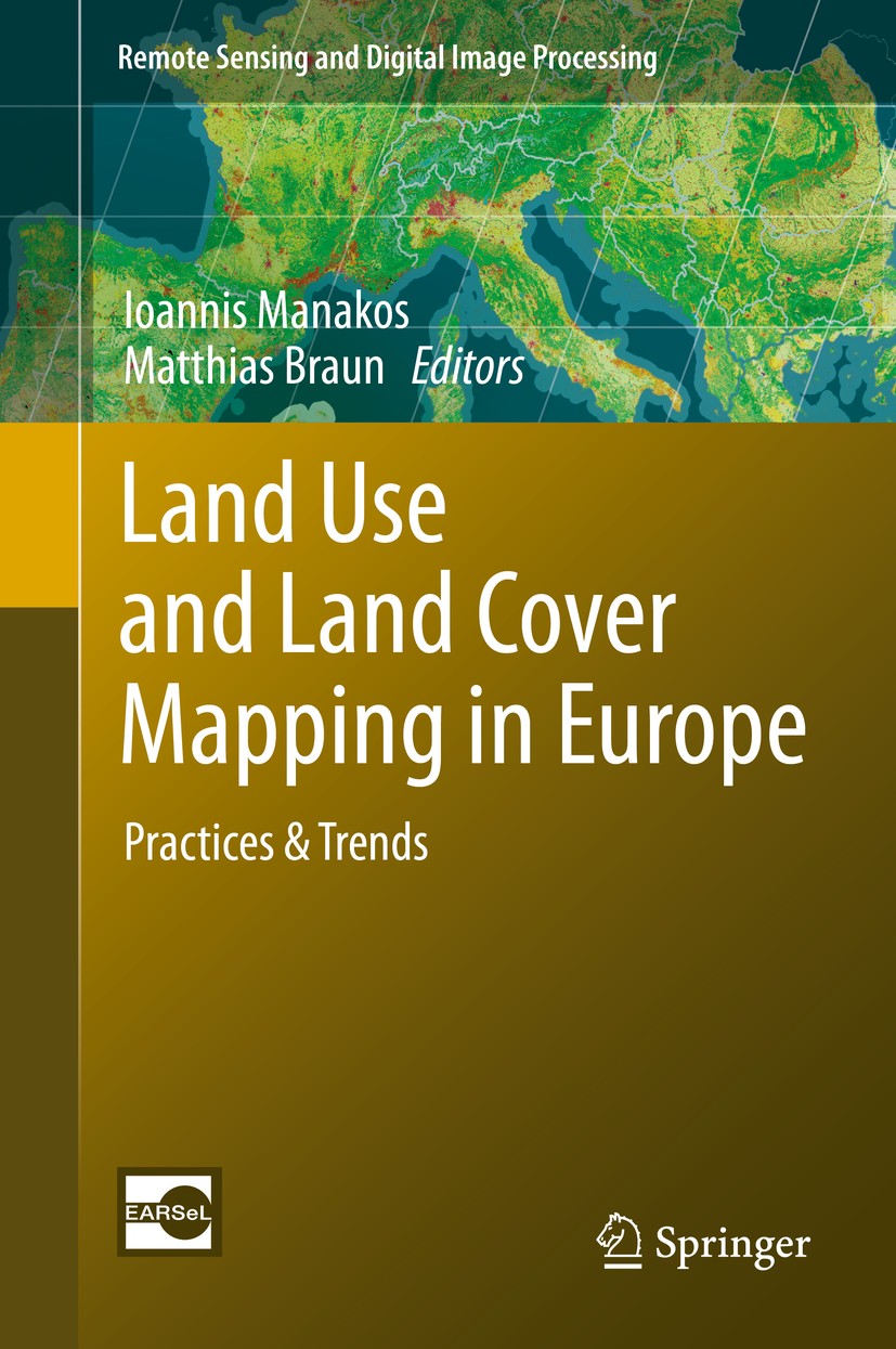
| 书目名称 | Land Use and Land Cover Mapping in Europe |
| 副标题 | Practices & Trends |
| 编辑 | Ioannis Manakos,Matthias Braun |
| 视频video | http://file.papertrans.cn/581/580584/580584.mp4 |
| 概述 | Land use/land cover (LULC) information in its various forms and products is used as input by numerous users (e.g. modelers, planners, agricultural researchers, etc.), hence a very wide range of users |
| 丛书名称 | Remote Sensing and Digital Image Processing |
| 图书封面 |  |
| 描述 | Land use and land cover (LULC) as well as its changes (LUCC) are an interplay between bio-geophysical characteristics of the landscape and climate as well as the complex human interaction including its different patterns of utilization superimposed on the natural vegetation. LULC is a core information layer for a variety of scientific and administrative tasks(e.g. hydrological modelling, climate models, land use planning).In particular in the context of climate change with its impacts on socio-economic, socio-ecologic systems as well as ecosystem services precise information on LULC and LUCC are mandatory baseline datasets required over large areas. Remote sensing can provide such information on different levels of detail and in a homogeneous and reliable way. Hence, LULC mapping can be regarded as a prototype for integrated approaches based on spaceborne and airborne remote sensing techniques combined with field observations. The book provides for the first time a comprehensive view of various LULC activities focusing on European initiatives, such as the LUCAS surveys, the CORINE land covers, the ESA/EU GMES program and its resulting Fast-Track- and Downstream Services, the EU JR |
| 出版日期 | Book 2014 |
| 关键词 | change detection; classification; image processing; land use & land cover; remote sensing; remote sensing |
| 版次 | 1 |
| doi | https://doi.org/10.1007/978-94-007-7969-3 |
| isbn_softcover | 978-94-024-0575-0 |
| isbn_ebook | 978-94-007-7969-3Series ISSN 1567-3200 Series E-ISSN 2215-1842 |
| issn_series | 1567-3200 |
| copyright | Springer Science+Business Media Dordrecht 2014 |
 |Archiver|手机版|小黑屋|
派博传思国际
( 京公网安备110108008328)
GMT+8, 2026-1-20 15:59


