找回密码
 To register

QQ登录

只需一步,快速开始

扫一扫,访问微社区

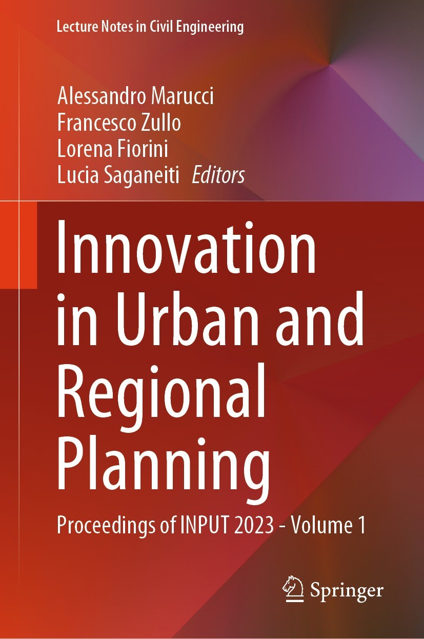
Titlebook: Innovation in Urban and Regional Planning; Proceedings of INPUT Alessandro Marucci,Francesco Zullo,Lucia Saganeiti Conference proceedings 2

[复制链接]
查看: 40124|回复: 57
发表于 2025-3-21 17:44:04 | 显示全部楼层 |阅读模式
书目名称Innovation in Urban and Regional Planning
副标题Proceedings of INPUT
编辑Alessandro Marucci,Francesco Zullo,Lucia Saganeiti
视频video
概述Presents the state of the art of urban, regional and spatial planning.Explores urban ecosystems toward more healthier and resilient cities.Written by leading experts in the field
丛书名称Lecture Notes in Civil Engineering
图书封面Titlebook: Innovation in Urban and Regional Planning; Proceedings of INPUT Alessandro Marucci,Francesco Zullo,Lucia Saganeiti Conference proceedings 2
描述This book gathers the proceedings of the INPUT2023 Conference on ‘Innovation in Urban and Regional Planning.’ The 12th International Conference INPUT was held at the University of L‘Aquila, Italy, on September 6–8, 2023, and brought together international scholars in the fields of planning, civil engineering and architecture, ecology, and social science, to strengthen the knowledge on nature-based solutions and to enhance the implementation and replication of these solutions in different contexts. The book represents the state of the art of modeling and computational approaches to innovations in urban and regional planning, with a transdisciplinary and borderless character to address the complexity of contemporary socio-ecological systems and following a practice-oriented and problem-solving approach. Computational tools, technologies, data, mathematical models, and decision support tools are explored for providing innovative spatial planning modeling methodologies.
出版日期Conference proceedings 2024
关键词INPUT; Urban Planning; urban science; environmental sustainability; spatial planning; Cultural Heritage; R
版次1
doihttps://doi.org/10.1007/978-3-031-54118-6
isbn_softcover978-3-031-54120-9
isbn_ebook978-3-031-54118-6Series ISSN 2366-2557 Series E-ISSN 2366-2565
issn_series 2366-2557
copyrightThe Editor(s) (if applicable) and The Author(s), under exclusive license to Springer Nature Switzerl
The information of publication is updating

书目名称Innovation in Urban and Regional Planning影响因子(影响力)


书目名称Innovation in Urban and Regional Planning影响因子(影响力)学科排名


书目名称Innovation in Urban and Regional Planning网络公开度


书目名称Innovation in Urban and Regional Planning网络公开度学科排名


书目名称Innovation in Urban and Regional Planning被引频次


书目名称Innovation in Urban and Regional Planning被引频次学科排名


书目名称Innovation in Urban and Regional Planning年度引用


书目名称Innovation in Urban and Regional Planning年度引用学科排名


书目名称Innovation in Urban and Regional Planning读者反馈


书目名称Innovation in Urban and Regional Planning读者反馈学科排名


单选投票, 共有 1 人参与投票
 

0票 0.00%

Perfect with Aesthetics


1票 100.00%

Better Implies Difficulty


0票 0.00%

Good and Satisfactory


0票 0.00%

Adverse Performance


0票 0.00%

Disdainful Garbage

您所在的用户组没有投票权限
发表于 2025-3-21 23:21:32 | 显示全部楼层
发表于 2025-3-22 04:19:12 | 显示全部楼层
发表于 2025-3-22 07:59:21 | 显示全部楼层
Earth Observation Data for Sustainable Management of Water Resources to Inform Spatial Planning Strale water management strategies to tackle desertification. This is made possible by the vast amount of publicly available medium-resolution satellite data, such as Landsat and Sentinel missions, as well as open-source cloud infrastructures for managing big geographic data, like Google Earth Engine (G
发表于 2025-3-22 12:34:33 | 显示全部楼层
Future Urban Setting and Effects on the Hydrographic System. The Case Study of Bologna, Italyation and strategic structures. The analyses concern two ecosystem services: urban flood risk mitigation and overland sediment generation and delivery. Specifically, using InVEST (Integrated Valuation of Ecosystem Services and Tradeoffs) software, it is assessed how the full implementation of the mu
发表于 2025-3-22 15:28:29 | 显示全部楼层
Using SAR Observation Data to Support the Spatial Planning in Areas Affected by Landslide Phenomenaort. The proposed research shows the results of an application of SAR geospatial observations in the monitoring of an anthropic area affected by a landslide. To this aim, satellite acquisitions have been utilized to thoroughly describe the instability occurrence, by retrieving its main kinematic par
发表于 2025-3-22 19:16:57 | 显示全部楼层
发表于 2025-3-22 21:37:30 | 显示全部楼层
Geovisualization and Geodesign in a Framework for the Evaluation of Landscape Units as a Basis for tform to the co-creation of ideas by shared decision. A group of experts was divided in the axis of urban landscape, rural landscape, environmental landscape, geomorphological landscape and geosystemic landscape, to construct qualified data and analysis and to present spatial units according to each
发表于 2025-3-23 01:34:13 | 显示全部楼层
发表于 2025-3-23 08:45:08 | 显示全部楼层
 关于派博传思  派博传思旗下网站  友情链接
派博传思介绍 公司地理位置 论文服务流程 影响因子官网 SITEMAP 大讲堂 北京大学 Oxford Uni. Harvard Uni.
发展历史沿革 期刊点评 投稿经验总结 SCIENCEGARD IMPACTFACTOR 派博系数 清华大学 Yale Uni. Stanford Uni.
|Archiver|手机版|小黑屋| 派博传思国际 ( 京公网安备110108008328) GMT+8, 2025-5-3 10:09
Copyright © 2001-2015 派博传思   京公网安备110108008328 版权所有 All rights reserved
快速回复 返回顶部 返回列表