找回密码
 To register

QQ登录

只需一步,快速开始

扫一扫,访问微社区

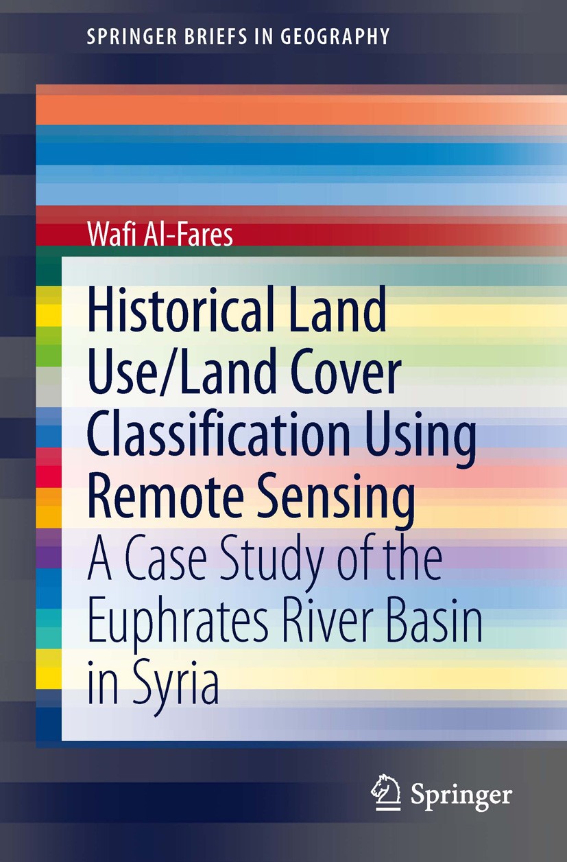
Titlebook: Historical Land Use/Land Cover Classification Using Remote Sensing; A Case Study of the Wafi Al-Fares Book 2013 The Author(s) 2013 Digital

[复制链接]
查看: 46033|回复: 39
发表于 2025-3-21 19:38:03 | 显示全部楼层 |阅读模式
书目名称Historical Land Use/Land Cover Classification Using Remote Sensing
副标题A Case Study of the
编辑Wafi Al-Fares
视频video
概述Presents an experimental case study with a step-by-step methodology and clear and simple illustrations and tables.Deals with a politically important area (Syria and Euphrates-River-Basin).Important sc
丛书名称SpringerBriefs in Geography
图书封面Titlebook: Historical Land Use/Land Cover Classification Using Remote Sensing; A Case Study of the  Wafi Al-Fares Book 2013 The Author(s) 2013 Digital
描述.Although the development of remote sensing techniques focuses greatly on construction of new sensors with higher spatial and spectral resolution, it is advisable to also use data of older sensors (especially, the LANDSAT-mission) when the historical mapping of land use/land cover and monitoring of their dynamics are needed. Using data from LANDSAT missions as well  as from Terra (ASTER) Sensors, the authors shows in his book maps of historical land cover changes with a focus on agricultural irrigation projects..The kernel of this study was whether, how and to what extent applying the various remotely sensed data that were used here, would be an effective approach to classify the historical and current land use/land cover, to monitor the dynamics of land use/land cover during the last four decades, to map the development of the irrigation areas, and to classify the major strategic winter- and summer-irrigated agricultural crops in the study area of the Euphrates River Basin..
出版日期Book 2013
关键词Digital Remotely Sensed Data Processing; Euphrates-River-Basin; LANDSAT; Land Use / Land Cover; Remote S
版次1
doihttps://doi.org/10.1007/978-3-319-00624-6
isbn_softcover978-3-319-00623-9
isbn_ebook978-3-319-00624-6Series ISSN 2211-4165 Series E-ISSN 2211-4173
issn_series 2211-4165
copyrightThe Author(s) 2013
The information of publication is updating

书目名称Historical Land Use/Land Cover Classification Using Remote Sensing影响因子(影响力)


书目名称Historical Land Use/Land Cover Classification Using Remote Sensing影响因子(影响力)学科排名


书目名称Historical Land Use/Land Cover Classification Using Remote Sensing网络公开度


书目名称Historical Land Use/Land Cover Classification Using Remote Sensing网络公开度学科排名


书目名称Historical Land Use/Land Cover Classification Using Remote Sensing被引频次


书目名称Historical Land Use/Land Cover Classification Using Remote Sensing被引频次学科排名


书目名称Historical Land Use/Land Cover Classification Using Remote Sensing年度引用


书目名称Historical Land Use/Land Cover Classification Using Remote Sensing年度引用学科排名


书目名称Historical Land Use/Land Cover Classification Using Remote Sensing读者反馈


书目名称Historical Land Use/Land Cover Classification Using Remote Sensing读者反馈学科排名


单选投票, 共有 1 人参与投票
 

1票 100.00%

Perfect with Aesthetics


0票 0.00%

Better Implies Difficulty


0票 0.00%

Good and Satisfactory


0票 0.00%

Adverse Performance


0票 0.00%

Disdainful Garbage

您所在的用户组没有投票权限
发表于 2025-3-21 20:28:27 | 显示全部楼层
ed from both teacher and student perspectives. Next, the book raises the issue of global responsibility. What kind of critical issues arise when handling such matters at school? Further, can contemporary moral philosophers contribute to such a discussion? In turn, the book discusses the role of stat
发表于 2025-3-22 04:14:31 | 显示全部楼层
发表于 2025-3-22 05:41:35 | 显示全部楼层
发表于 2025-3-22 10:01:56 | 显示全部楼层
Wafi Al-Faresiability and validity jointly with game criteria such as engagement and interactivity. The ideas are illustrated with examples from the Packet Tracer simulation environment and Aspire game that are used in the Cisco Networking Academies for learning and assessing computer network engineering.
发表于 2025-3-22 16:20:03 | 显示全部楼层
发表于 2025-3-22 19:57:39 | 显示全部楼层
Wafi Al-Faresion in students’ communities of learning (including group dynamics). This highlights the importance and role of (self-)reflection in assessment. Further consideration is made to adapt the approach to assessing international fieldwork at other levels and scales of geographical education.
发表于 2025-3-23 00:02:17 | 显示全部楼层
Wafi Al-Faresion in students’ communities of learning (including group dynamics). This highlights the importance and role of (self-)reflection in assessment. Further consideration is made to adapt the approach to assessing international fieldwork at other levels and scales of geographical education.
发表于 2025-3-23 04:30:53 | 显示全部楼层
Wafi Al-Faresion in students’ communities of learning (including group dynamics). This highlights the importance and role of (self-)reflection in assessment. Further consideration is made to adapt the approach to assessing international fieldwork at other levels and scales of geographical education.
发表于 2025-3-23 08:57:46 | 显示全部楼层
Results, Analysis and Discussion, which represent the areas in over past periods. Here, again, emerges the integration between statistical data and remote sensing data in study land uses, distribution of natural coverage and its change across time. In the first step (see Chap. 5.10), statistical numbers have been useful in the spat
 关于派博传思  派博传思旗下网站  友情链接
派博传思介绍 公司地理位置 论文服务流程 影响因子官网 SITEMAP 大讲堂 北京大学 Oxford Uni. Harvard Uni.
发展历史沿革 期刊点评 投稿经验总结 SCIENCEGARD IMPACTFACTOR 派博系数 清华大学 Yale Uni. Stanford Uni.
|Archiver|手机版|小黑屋| 派博传思国际 ( 京公网安备110108008328) GMT+8, 2025-5-10 07:12
Copyright © 2001-2015 派博传思   京公网安备110108008328 版权所有 All rights reserved
快速回复 返回顶部 返回列表