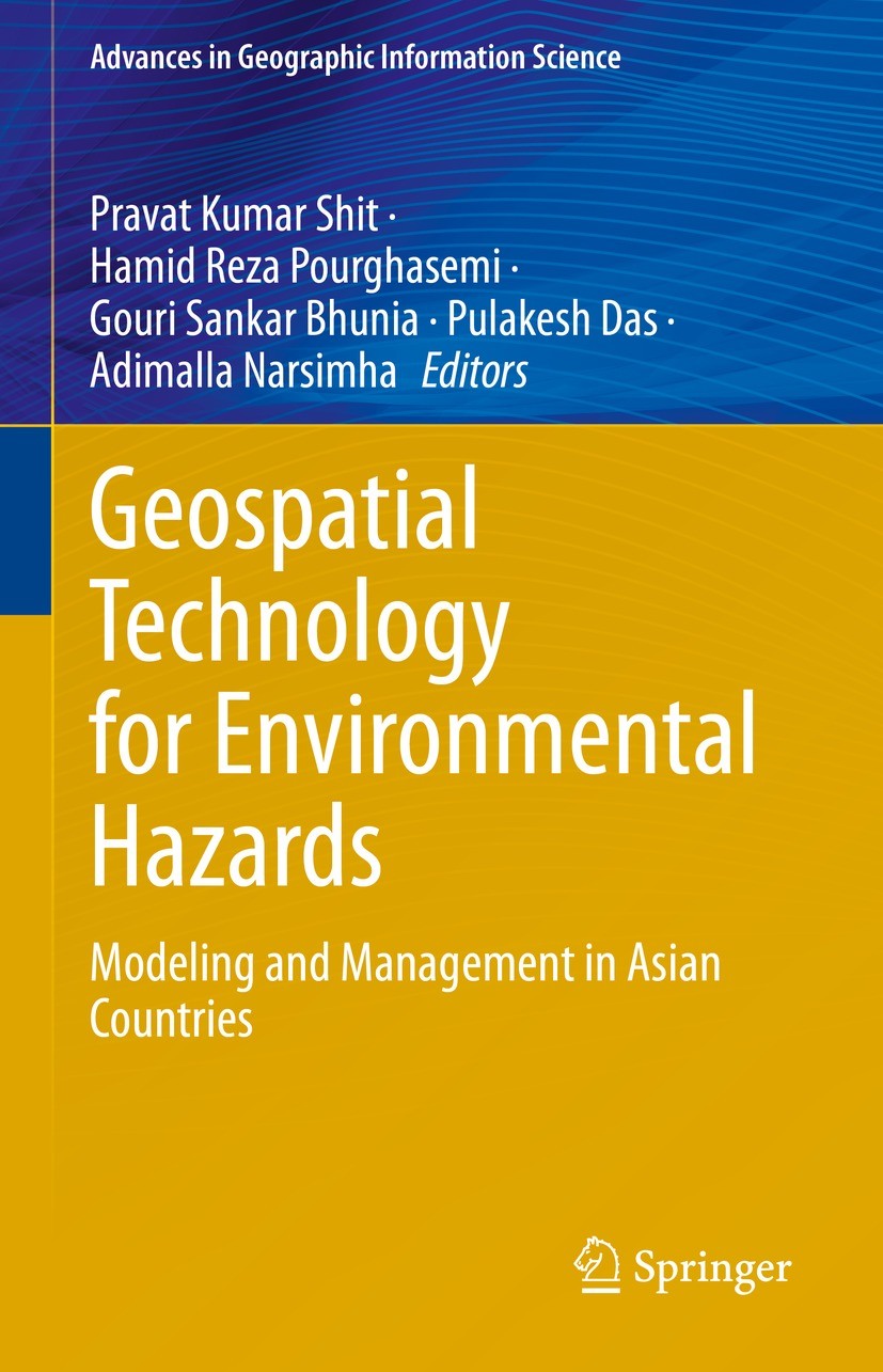
| 书目名称 | Geospatial Technology for Environmental Hazards | | 副标题 | Modeling and Managem | | 编辑 | Pravat Kumar Shit,Hamid Reza Pourghasemi,Adimalla | | 视频video | http://file.papertrans.cn/385/384080/384080.mp4 | | 概述 | Demonstrates geospatial technology approaches in different aspects of natural and social hazards.Promotes synergistic activities among scientists and technicians working in data mining and machine lea | | 丛书名称 | Advances in Geographic Information Science | | 图书封面 |  | | 描述 | .The book demonstrates the geospatial technology approach to data mining techniques, data analysis, modeling, risk assessment, visualization, and management strategies in different aspects of natural and social hazards. This book has 25 chapters associated with risk assessment, mapping and management strategies of environmental hazards. It covers major topics such as Landslide Susceptibility, Arsenic Contaminated Groundwater, Earthquake Risk Management, Open Cast Mining, Soil loss, Flood Susceptibility, Forest Fire Risk, Malaria prevalence, Flood inundation, Socio-Economic Vulnerability, River Bank Erosion, and Socio-Economic Vulnerability. The content of this book will be of interest to researchers, professionals, and policymakers, whose work involves environmental hazards and related solutions.. | | 出版日期 | Book 2022 | | 关键词 | Geo-physical hazards; Geo-spatial intelligence; Data mining; Land degradation; Disaster vulnerability | | 版次 | 1 | | doi | https://doi.org/10.1007/978-3-030-75197-5 | | isbn_softcover | 978-3-030-75199-9 | | isbn_ebook | 978-3-030-75197-5Series ISSN 1867-2434 Series E-ISSN 1867-2442 | | issn_series | 1867-2434 | | copyright | The Editor(s) (if applicable) and The Author(s), under exclusive license to Springer Nature Switzerl |
The information of publication is updating

|
|
 |Archiver|手机版|小黑屋|
派博传思国际
( 京公网安备110108008328)
GMT+8, 2026-2-9 22:30


