找回密码
 To register

QQ登录

只需一步,快速开始

扫一扫,访问微社区

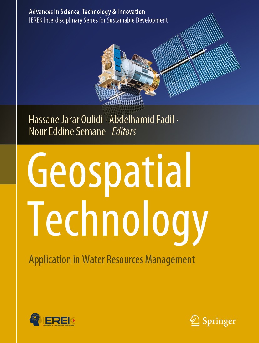
Titlebook: Geospatial Technology; Application in Water Hassane Jarar Oulidi,Abdelhamid Fadil,Nour Eddine Book 2020 Springer Nature Switzerland AG 202

[复制链接]
查看: 8194|回复: 40
发表于 2025-3-21 17:40:22 | 显示全部楼层 |阅读模式
书目名称Geospatial Technology
副标题Application in Water
编辑Hassane Jarar Oulidi,Abdelhamid Fadil,Nour Eddine
视频video
概述Provides seven extended case studies discussing the latest developments in geospatial technologies application for water resources management.Presents unique multidisciplinary approaches to address wa
丛书名称Advances in Science, Technology & Innovation
图书封面Titlebook: Geospatial Technology; Application in Water Hassane Jarar Oulidi,Abdelhamid Fadil,Nour Eddine  Book 2020 Springer Nature Switzerland AG 202
描述This book aims to exchange and share the experiences and research results on the geospatial technology applied in water resources management. It will present the most recent innovations, trends, challenges encountered and the solutions adopted in the area of geospatial technology. It will be beneficial for academicians, scientists, meteorologists, and consultants working in the field of water resources management.
出版日期Book 2020
关键词Geographic Information System; Geomatics; Geospatial Technology; Water resources; Groundwater; Water reso
版次1
doihttps://doi.org/10.1007/978-3-030-24974-8
isbn_softcover978-3-030-24976-2
isbn_ebook978-3-030-24974-8Series ISSN 2522-8714 Series E-ISSN 2522-8722
issn_series 2522-8714
copyrightSpringer Nature Switzerland AG 2020
The information of publication is updating

书目名称Geospatial Technology影响因子(影响力)


书目名称Geospatial Technology影响因子(影响力)学科排名


书目名称Geospatial Technology网络公开度


书目名称Geospatial Technology网络公开度学科排名


书目名称Geospatial Technology被引频次


书目名称Geospatial Technology被引频次学科排名


书目名称Geospatial Technology年度引用


书目名称Geospatial Technology年度引用学科排名


书目名称Geospatial Technology读者反馈


书目名称Geospatial Technology读者反馈学科排名


单选投票, 共有 1 人参与投票
 

1票 100.00%

Perfect with Aesthetics


0票 0.00%

Better Implies Difficulty


0票 0.00%

Good and Satisfactory


0票 0.00%

Adverse Performance


0票 0.00%

Disdainful Garbage

您所在的用户组没有投票权限
发表于 2025-3-21 23:56:16 | 显示全部楼层
Extraction of Water Information Based on SAR Radar and Optical Image Processing: Case of Flood Disaradar (calibrage, filtrage du speckle, correction du terrain doppler) et de l’optique (correction atmosphérique, étalonnage de la dérive radiométrique du capteur et correction des distorsions géométriques et topographiques). Quatre indices spectraux ont été extraits, suivis d’une détection de change
发表于 2025-3-22 01:41:35 | 显示全部楼层
,Hanaa Aguedai—Intrusion Zones Identification in the Mnasra Aquifer (Morocco) Using the Seawater Intlectrical tomography (electric tomography profiles). The interpretation of the geophysical data and the establishment of a new map of iso-concentrations have made it possible to identify the most impacted zones by the intrusion.
发表于 2025-3-22 08:14:06 | 显示全部楼层
Contribution of the GIS in Terms of Knowledge of the Situation of the Water Resources of the Plain nts (gauging) made over three successive years in our study area. To achieve this objective, a methodology was used to collect different types of data (topographic, geological and hydrometric), and this database was set up on a geographic information system, to produce spatial maps and hydrological
发表于 2025-3-22 10:33:08 | 显示全部楼层
发表于 2025-3-22 15:58:13 | 显示全部楼层
Nicole Mockler,Susan Groundwater-Smithradar (calibrage, filtrage du speckle, correction du terrain doppler) et de l’optique (correction atmosphérique, étalonnage de la dérive radiométrique du capteur et correction des distorsions géométriques et topographiques). Quatre indices spectraux ont été extraits, suivis d’une détection de change
发表于 2025-3-22 19:37:22 | 显示全部楼层
发表于 2025-3-22 23:28:56 | 显示全部楼层
Engels and the Politics of Nature,nts (gauging) made over three successive years in our study area. To achieve this objective, a methodology was used to collect different types of data (topographic, geological and hydrometric), and this database was set up on a geographic information system, to produce spatial maps and hydrological
发表于 2025-3-23 03:02:22 | 显示全部楼层
发表于 2025-3-23 05:31:54 | 显示全部楼层
https://doi.org/10.1007/978-3-030-69720-4d Space Administration (NASA) launched in 2015. This work will be dedicated to the state of the art of soil moisture downscaling and applications across various regions of the world, including Canada, USA and Spain to take advantage of these studies for a future effective exploitation of soil moisture mapping in a Moroccan context.
 关于派博传思  派博传思旗下网站  友情链接
派博传思介绍 公司地理位置 论文服务流程 影响因子官网 SITEMAP 大讲堂 北京大学 Oxford Uni. Harvard Uni.
发展历史沿革 期刊点评 投稿经验总结 SCIENCEGARD IMPACTFACTOR 派博系数 清华大学 Yale Uni. Stanford Uni.
|Archiver|手机版|小黑屋| 派博传思国际 ( 京公网安备110108008328) GMT+8, 2025-5-20 20:59
Copyright © 2001-2015 派博传思   京公网安备110108008328 版权所有 All rights reserved
快速回复 返回顶部 返回列表