找回密码
 To register

QQ登录

只需一步,快速开始

扫一扫,访问微社区

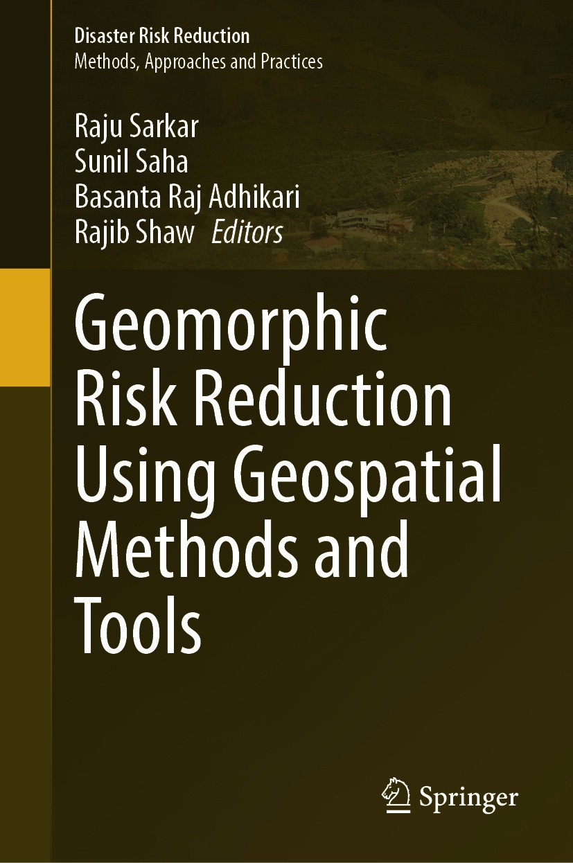
Titlebook: Geomorphic Risk Reduction Using Geospatial Methods and Tools; Raju Sarkar,Sunil Saha,Rajib Shaw Book 2024 The Editor(s) (if applicable) an

[复制链接]
查看: 34387|回复: 57
发表于 2025-3-21 17:14:34 | 显示全部楼层 |阅读模式
书目名称Geomorphic Risk Reduction Using Geospatial Methods and Tools
编辑Raju Sarkar,Sunil Saha,Rajib Shaw
视频video
概述Highlights scientific methods to reduce the geomorphic hazard impact of different regions.Provides a pathway towards the management of different geomorphic hazards risk.Applies advanced machine learni
丛书名称Disaster Risk Reduction
图书封面Titlebook: Geomorphic Risk Reduction Using Geospatial Methods and Tools;  Raju Sarkar,Sunil Saha,Rajib Shaw Book 2024 The Editor(s) (if applicable) an
描述This book explores the use of advanced geospatial techniques in geomorphic hazards modelling and risk reduction. It also compares the accuracy of traditional statistical methods and advanced machine learning methods and addresses the different ways to reduce the impact of geomorphic hazards..In recent years with the development of human infrastructures, geomorphic hazards are gradually increasing, which include landslides, flood and soil erosion, among others. They cause huge loss of human property and lives. Especially in mountainous, coastal, arid and semi-arid regions, these natural hazards are the main barriers for economic development. Furthermore, human pressure and specific human actions such as deforestation, inappropriate land use and farming have increased the danger of natural disasters and degraded the natural environment, making it more difficult for environmental planners and policymakers to develop appropriate long-term sustainability plans. The most challenging task is to develop a sophisticated approach for continuous inspection and resolution of environmental problems for researchers and scientists. However, in the past several decades, geospatial technology has u
出版日期Book 2024
关键词Geomorphic hazard; Machine learning technique; Satellite image; Resilience process; Risk reduction techn
版次1
doihttps://doi.org/10.1007/978-981-99-7707-9
isbn_softcover978-981-99-7709-3
isbn_ebook978-981-99-7707-9Series ISSN 2196-4106 Series E-ISSN 2196-4114
issn_series 2196-4106
copyrightThe Editor(s) (if applicable) and The Author(s), under exclusive license to Springer Nature Singapor
The information of publication is updating

书目名称Geomorphic Risk Reduction Using Geospatial Methods and Tools影响因子(影响力)


书目名称Geomorphic Risk Reduction Using Geospatial Methods and Tools影响因子(影响力)学科排名


书目名称Geomorphic Risk Reduction Using Geospatial Methods and Tools网络公开度


书目名称Geomorphic Risk Reduction Using Geospatial Methods and Tools网络公开度学科排名


书目名称Geomorphic Risk Reduction Using Geospatial Methods and Tools被引频次


书目名称Geomorphic Risk Reduction Using Geospatial Methods and Tools被引频次学科排名


书目名称Geomorphic Risk Reduction Using Geospatial Methods and Tools年度引用


书目名称Geomorphic Risk Reduction Using Geospatial Methods and Tools年度引用学科排名


书目名称Geomorphic Risk Reduction Using Geospatial Methods and Tools读者反馈


书目名称Geomorphic Risk Reduction Using Geospatial Methods and Tools读者反馈学科排名


单选投票, 共有 1 人参与投票
 

0票 0.00%

Perfect with Aesthetics


0票 0.00%

Better Implies Difficulty


1票 100.00%

Good and Satisfactory


0票 0.00%

Adverse Performance


0票 0.00%

Disdainful Garbage

您所在的用户组没有投票权限
发表于 2025-3-21 20:41:22 | 显示全部楼层
发表于 2025-3-22 03:31:49 | 显示全部楼层
Artificial Neural Network Ensemble with General Linear Model for Modeling the Landslide Susceptibiliare highly susceptible to landslide. In the present study ensemble of ANN, general linear model (GLM), and ensemble ANN-GLM machine learning methods were applied for producing the landslide susceptibility maps (LSMs) of the Mirik region. A total of 373 landslide locations and twelve landslide condit
发表于 2025-3-22 07:50:58 | 显示全部楼层
An Advanced Hybrid Machine Learning Technique for Assessing the Susceptibility to Landslides in the ble NBT-RTF, Naive Bayes tree (NBT), and rotation forest (RTF). For landslide susceptibility modelling, 189 landslide sites and 12 landslide conditioning factors (LCFs) were gathered. Multi-collinearity analysis was done among the LCFs to determine the best LCFs to use. The metrics utilized to asses
发表于 2025-3-22 12:36:51 | 显示全部楼层
发表于 2025-3-22 16:36:35 | 显示全部楼层
发表于 2025-3-22 17:57:06 | 显示全部楼层
An Ensemble of J48 Decision Tree with AdaBoost and Bagging for Flood Susceptibility Mapping in the So limit its destructive effects, proper planning, cope up ideas, and mitigation strategies are required. So the present study deals with the preparation of flood susceptibility mapping in the Sundarban region of West Bengal, India. The study prepares a flood inventory map and also identifies the col
发表于 2025-3-22 23:46:40 | 显示全部楼层
发表于 2025-3-23 04:38:51 | 显示全部楼层
Quantitative Assessment of Interferometric Synthetic Aperture Radar (INSAR) for Landslide Monitoring-surface ground motion in deep-seated landslides. We also consider the uncertainties that may arise out of using a remote sensing tool to track ground motion, as opposed to traditional boreholes, and how InSAR can be used to understand this uncertainty. The landslide case study of interest in this w
发表于 2025-3-23 08:19:44 | 显示全部楼层
Geospatial Study of River Shifting and Erosion–Deposition Phenomenon Along a Selected Stretch of Riva. Measurement of braiding index (>1.5) and sinuosity (<1.5) with the aim of analyzing river morphometric parameters along with river shifting related with erosion–deposition for sinuosity throughout the study time duration indicate that the river has a braiding and straight or sinuous nature. Islan
 关于派博传思  派博传思旗下网站  友情链接
派博传思介绍 公司地理位置 论文服务流程 影响因子官网 SITEMAP 大讲堂 北京大学 Oxford Uni. Harvard Uni.
发展历史沿革 期刊点评 投稿经验总结 SCIENCEGARD IMPACTFACTOR 派博系数 清华大学 Yale Uni. Stanford Uni.
|Archiver|手机版|小黑屋| 派博传思国际 ( 京公网安备110108008328) GMT+8, 2025-5-22 22:01
Copyright © 2001-2015 派博传思   京公网安备110108008328 版权所有 All rights reserved
快速回复 返回顶部 返回列表