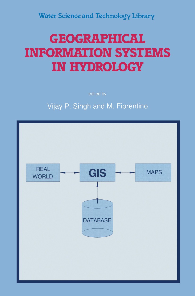
| 书目名称 | Geographical Information Systems in Hydrology |
| 编辑 | Vijay P. Singh,M. Fiorentino |
| 视频video | http://file.papertrans.cn/384/383199/383199.mp4 |
| 丛书名称 | Water Science and Technology Library |
| 图书封面 |  |
| 描述 | The last few years have witnessed an enormous interest in application of GIS in hydrology and water resources. This is partly evidenced by organization of sev eral national and international symposia or conferences under the sponsorship of various professional organizations. This increased interest is, in a large measure, in response to growing public sensitivity to environmental quality and management. The GIS technology has the ability to capture, store, manipulate, analyze, and visualize the diverse sets of geo-referenced data. On the other hand, hydrology is inherently spatial and distributed hydrologic models have large data requirements. The integration of hydrology and GIS is therefore quite natural. The integration involves three major components: (1) spatial data construction, (2) integration of spatial model layers, and (3) GIS and model interface. GIS can assist in design, calibration, modification and comparison of models. This integration is spreading worldwide and is expected to accelerate in the foreseeable future. Substantial op portunities exist in integration of GIS and hydrology. We believe there are enough challenges in use of GIS for conceptualizing and model |
| 出版日期 | Book 1996 |
| 关键词 | Erosion; Groundwater; Nonpoint source pollution; hydrology; pollution; hydrogeology |
| 版次 | 1 |
| doi | https://doi.org/10.1007/978-94-015-8745-7 |
| isbn_softcover | 978-90-481-4751-9 |
| isbn_ebook | 978-94-015-8745-7Series ISSN 0921-092X Series E-ISSN 1872-4663 |
| issn_series | 0921-092X |
| copyright | Springer Science+Business Media B.V. 1996 |
 |Archiver|手机版|小黑屋|
派博传思国际
( 京公网安备110108008328)
GMT+8, 2026-1-23 03:46


