找回密码
 To register

QQ登录

只需一步,快速开始

扫一扫,访问微社区

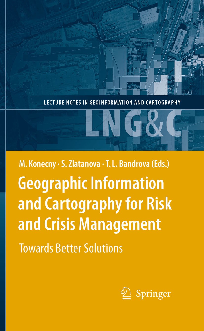
Titlebook: Geographic Information and Cartography for Risk and Crisis Management; Towards Better Solut Milan Konecny,Sisi Zlatanova,Temenoujka L. Band

[复制链接]
查看: 16770|回复: 61
发表于 2025-3-21 17:30:07 | 显示全部楼层 |阅读模式
书目名称Geographic Information and Cartography for Risk and Crisis Management
副标题Towards Better Solut
编辑Milan Konecny,Sisi Zlatanova,Temenoujka L. Bandrov
视频video
概述Outlines research frontiers and applications of cartography and GI in EW and CM and document their roles and potentials in wider processes going on in information/knowledge-based societies.Includes su
丛书名称Lecture Notes in Geoinformation and Cartography
图书封面Titlebook: Geographic Information and Cartography for Risk and Crisis Management; Towards Better Solut Milan Konecny,Sisi Zlatanova,Temenoujka L. Band
描述.Cartography and geographic information (GI) are remarkably appropriate for the requirements of early warning (EW) and crisis management (CM). The use of geospatial technology has  increased tremendously in the last years. ICT has changed from just using maps created in advance, to new approaches, allowing individuals (decision-makers) to use cartography interactively, on the basis of individual user‘s requirements. The new generation of cartographic visualizations based on standardisation, formal modelling, use of sensors, semantics and ontology, allows for the better adaptation of information to the needs of the users. In order to design a new framework in pre-disaster and disaster management safety/security/privacy aspects of institutions and citizens need to be considered. All this can only be achieved by demonstrating new research achievements, sharing best practices (e.g. in the health area) and working towards the wider acceptance of geospatial technology in society, with the help of education and media. ..This book will outline research frontiers and applications of cartography and GI in EW and CM and document their roles and potentials in wider processes going on in inform
出版日期Book 2010
关键词GIS; Geoinformationssysteme; TerraSAR-X; cartography; geographic data; geoinformation; geospatial; spatial
版次1
doihttps://doi.org/10.1007/978-3-642-03442-8
isbn_softcover978-3-642-26293-7
isbn_ebook978-3-642-03442-8Series ISSN 1863-2246 Series E-ISSN 1863-2351
issn_series 1863-2246
copyrightSpringer-Verlag Berlin Heidelberg 2010
The information of publication is updating

书目名称Geographic Information and Cartography for Risk and Crisis Management影响因子(影响力)


书目名称Geographic Information and Cartography for Risk and Crisis Management影响因子(影响力)学科排名


书目名称Geographic Information and Cartography for Risk and Crisis Management网络公开度


书目名称Geographic Information and Cartography for Risk and Crisis Management网络公开度学科排名


书目名称Geographic Information and Cartography for Risk and Crisis Management被引频次


书目名称Geographic Information and Cartography for Risk and Crisis Management被引频次学科排名


书目名称Geographic Information and Cartography for Risk and Crisis Management年度引用


书目名称Geographic Information and Cartography for Risk and Crisis Management年度引用学科排名


书目名称Geographic Information and Cartography for Risk and Crisis Management读者反馈


书目名称Geographic Information and Cartography for Risk and Crisis Management读者反馈学科排名


单选投票, 共有 1 人参与投票
 

0票 0.00%

Perfect with Aesthetics


1票 100.00%

Better Implies Difficulty


0票 0.00%

Good and Satisfactory


0票 0.00%

Adverse Performance


0票 0.00%

Disdainful Garbage

您所在的用户组没有投票权限
发表于 2025-3-21 21:10:51 | 显示全部楼层
发表于 2025-3-22 02:07:20 | 显示全部楼层
https://doi.org/10.1007/978-3-531-90087-2) to obtain the real-time optimization of resource allocation..In this chapter we introduce a model-based approach developed in the GIS environment, in which a well-known fire spread model has been implemented and a specific analysis of the road network has been carried out to supply real-time infor
发表于 2025-3-22 05:46:28 | 显示全部楼层
,Qualität des Partizipativen Journalismus, is successfully mapped. At the current stage of development, damage detection focuses on producing quick orientation damage maps. The data grid component of the GEO Grid with data federation capability will be employed to connect to various satellite image and field-survey databases in the next sta
发表于 2025-3-22 10:40:29 | 显示全部楼层
https://doi.org/10.1007/978-3-531-91858-7tor, which is the main tool for spatial data and services metadata creation and management. However, several errors can be found in this implementation, which also include differences between the implementing rules and the implementation itself..The results of both studies show the same insufficienc
发表于 2025-3-22 12:57:48 | 显示全部楼层
发表于 2025-3-22 20:16:15 | 显示全部楼层
Die FMEA und organisationales Lernen,em integrates terrestrial observation networks of seismology and geodesy with marine measuring sensors, satellite technologies and pre-calculated simulation scenarios. The GITEWS sensor systems integrate the respective sensor information and process it to aggregated sensor observations in real time.
发表于 2025-3-22 22:14:51 | 显示全部楼层
发表于 2025-3-23 05:17:36 | 显示全部楼层
发表于 2025-3-23 09:17:00 | 显示全部楼层
Book 2010alth area) and working towards the wider acceptance of geospatial technology in society, with the help of education and media. ..This book will outline research frontiers and applications of cartography and GI in EW and CM and document their roles and potentials in wider processes going on in inform
 关于派博传思  派博传思旗下网站  友情链接
派博传思介绍 公司地理位置 论文服务流程 影响因子官网 SITEMAP 大讲堂 北京大学 Oxford Uni. Harvard Uni.
发展历史沿革 期刊点评 投稿经验总结 SCIENCEGARD IMPACTFACTOR 派博系数 清华大学 Yale Uni. Stanford Uni.
|Archiver|手机版|小黑屋| 派博传思国际 ( 京公网安备110108008328) GMT+8, 2025-5-23 18:23
Copyright © 2001-2015 派博传思   京公网安备110108008328 版权所有 All rights reserved
快速回复 返回顶部 返回列表