用户名  找回密码
 To register

QQ登录

只需一步,快速开始

扫一扫,访问微社区

Titlebook: Geographic Information Systems, Spatial Modelling and Policy Evaluation; Manfred M. Fischer,Peter Nijkamp Book 1993 Springer-Verlag Berlin

[复制链接]
查看: 25287|回复: 56
发表于 2025-3-21 17:09:46 | 显示全部楼层 |阅读模式
书目名称Geographic Information Systems, Spatial Modelling and Policy Evaluation
编辑Manfred M. Fischer,Peter Nijkamp
视频video
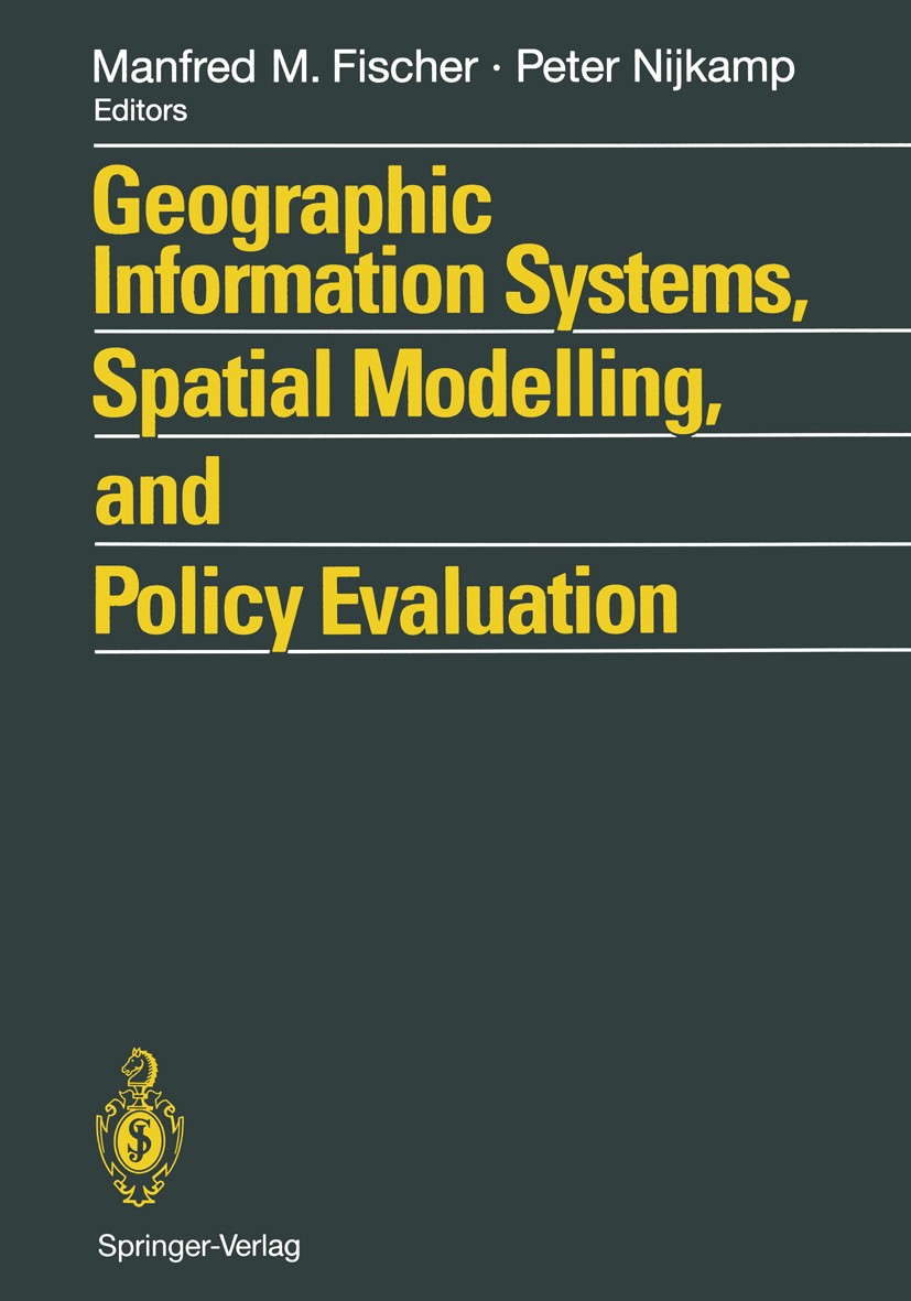
图书封面Titlebook: Geographic Information Systems, Spatial Modelling and Policy Evaluation;  Manfred M. Fischer,Peter Nijkamp Book 1993 Springer-Verlag Berlin
描述Geographical Information Systems (GIS) provide an enhanced environment for spatial data processing. The ability of geographic information systems to handle and analyse spatially referenced data may be seen as a major characteristic which distinguishes GIS from information systems developed to serve the needs of business data processing as well as from CAD systems or other systems whose primary objective is map production. This book, which contains contributions from a wide-ranging group of international scholars, demonstrates the progress which has been achieved so far at the interface of GIS technology and spatial analysis and planning. The various contributions bring together theoretical and conceptual, technical and applied issues. Topics covered include the design and use of GIS and spatial models, AI tools for spatial modelling in GIS, spatial statistical analysis and GIS, GIS and dynamic modelling, GIS in urban planning and policy making, information systems for policy evaluation, and spatial decision support systems.
出版日期Book 1993
关键词Geographical Information Systems; Geographische Informationssysteme; Raumanalyse; Regionalplanung; Stadt
版次1
doihttps://doi.org/10.1007/978-3-642-77500-0
isbn_softcover978-3-642-77502-4
isbn_ebook978-3-642-77500-0
copyrightSpringer-Verlag Berlin Heidelberg 1993
The information of publication is updating

书目名称Geographic Information Systems, Spatial Modelling and Policy Evaluation影响因子(影响力)


书目名称Geographic Information Systems, Spatial Modelling and Policy Evaluation影响因子(影响力)学科排名


书目名称Geographic Information Systems, Spatial Modelling and Policy Evaluation网络公开度


书目名称Geographic Information Systems, Spatial Modelling and Policy Evaluation网络公开度学科排名


书目名称Geographic Information Systems, Spatial Modelling and Policy Evaluation被引频次


书目名称Geographic Information Systems, Spatial Modelling and Policy Evaluation被引频次学科排名


书目名称Geographic Information Systems, Spatial Modelling and Policy Evaluation年度引用


书目名称Geographic Information Systems, Spatial Modelling and Policy Evaluation年度引用学科排名


书目名称Geographic Information Systems, Spatial Modelling and Policy Evaluation读者反馈


书目名称Geographic Information Systems, Spatial Modelling and Policy Evaluation读者反馈学科排名


单选投票, 共有 1 人参与投票
 

0票 0.00%

Perfect with Aesthetics


0票 0.00%

Better Implies Difficulty


0票 0.00%

Good and Satisfactory


1票 100.00%

Adverse Performance


0票 0.00%

Disdainful Garbage

您所在的用户组没有投票权限
发表于 2025-3-21 21:14:21 | 显示全部楼层
发表于 2025-3-22 01:09:32 | 显示全部楼层
发表于 2025-3-22 06:58:35 | 显示全部楼层
Using geographic information systems in urban planning and policy-makingurban planning process. One of the major difficulties of developing effective integration between GIS and the functions of the planning process involves the comparative crudity of the present array of functions within GIS when compared with those functions which are required in urban planning. We fi
发表于 2025-3-22 11:52:56 | 显示全部楼层
Developments in areal interpolation methods and GISivided into different sets of zones for different purposes, and data available for one set of zones (source zones) are needed for a different set (target zones). Standard approaches are based on the assumption that source zone data are evenly distributed within each zone, but our approach allows add
发表于 2025-3-22 14:02:49 | 显示全部楼层
Using information based rules for sliver polygon removal in GISs a unified data base is perhaps one of the most important. Ensuring that information held is of a substantive quality however, is very much up to the user..When data is obtained from several sources, a variety of topographical and categorical differences may be observable between the representations
发表于 2025-3-22 19:42:31 | 显示全部楼层
发表于 2025-3-23 01:16:36 | 显示全部楼层
The accuracy of digital representations of 2D and 3D geographical objects: a study by simulationnation of coastline and raster size is calculated by a simple boolean overlay method. The relationship between line complexity, raster size and rasterizing error is investigated and a method of selecting the most appropriate raster size based on the complexity of the source data and the required lev
发表于 2025-3-23 02:25:56 | 显示全部楼层
Towards the development of an intelligent spatial decision support systemupport systems (SDSS) through fuzzy logic and expert system technology. The purpose is to develop a powerful software environment for building SDSS for spatial decisionmaking with declarative (rule-based) and procedural (algorithms and models) knowledge. The fuzzy-logic-based expert system shell, th
发表于 2025-3-23 05:46:54 | 显示全部楼层
 关于派博传思  派博传思旗下网站  友情链接
派博传思介绍 公司地理位置 论文服务流程 影响因子官网 SITEMAP 大讲堂 北京大学 Oxford Uni. Harvard Uni.
发展历史沿革 期刊点评 投稿经验总结 SCIENCEGARD IMPACTFACTOR 派博系数 清华大学 Yale Uni. Stanford Uni.
|Archiver|手机版|小黑屋| 派博传思国际 ( 京公网安备110108008328) GMT+8, 2025-6-18 08:52
Copyright © 2001-2015 派博传思   京公网安备110108008328 版权所有 All rights reserved
快速回复 返回顶部 返回列表