找回密码
 To register

QQ登录

只需一步,快速开始

扫一扫,访问微社区

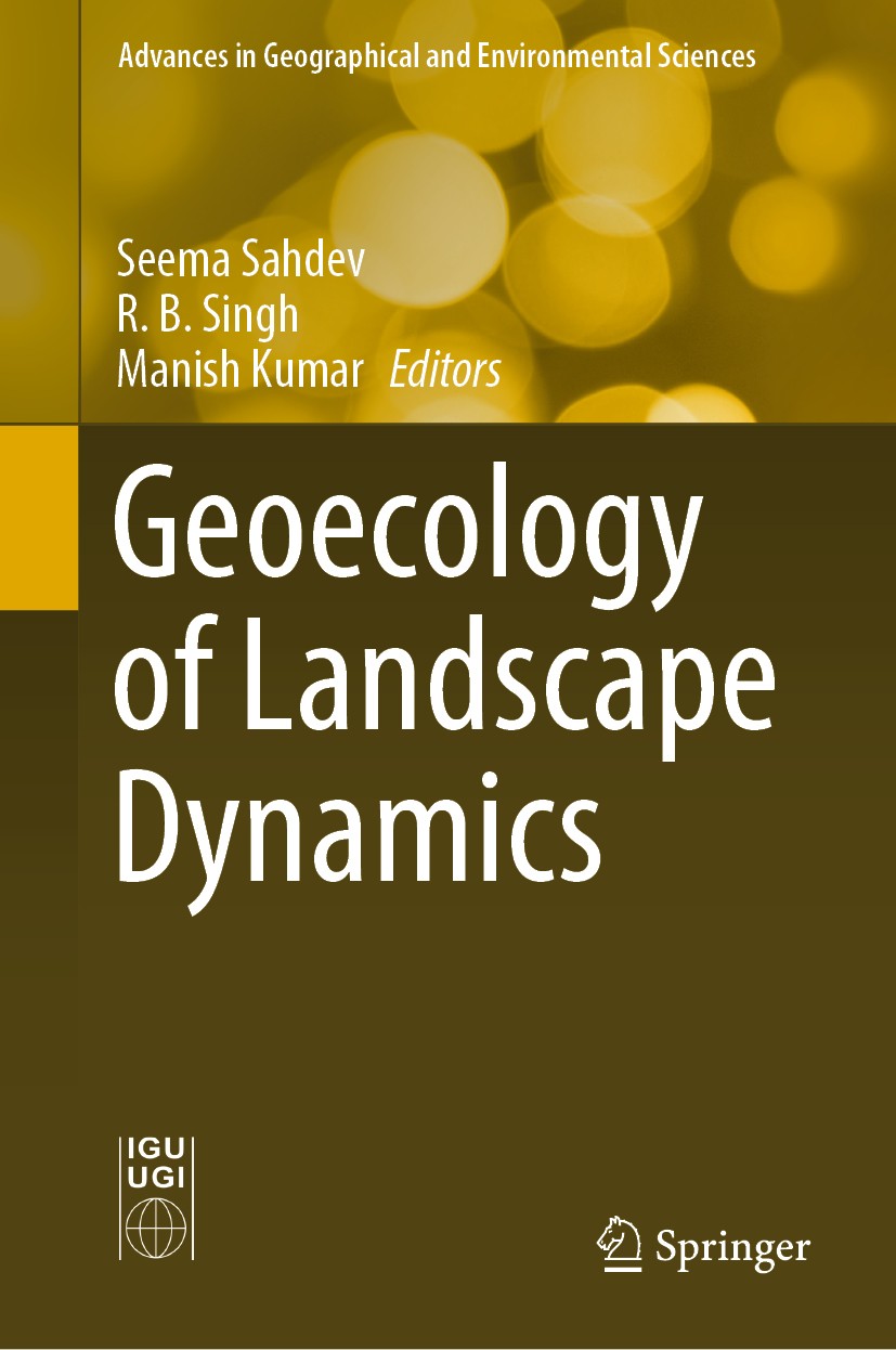
Titlebook: Geoecology of Landscape Dynamics; Seema Sahdev,R. B. Singh,Manish Kumar Book 2020 The Editor(s) (if applicable) and The Author(s), under e

[复制链接]
查看: 44391|回复: 61
发表于 2025-3-21 19:44:09 | 显示全部楼层 |阅读模式
书目名称Geoecology of Landscape Dynamics
编辑Seema Sahdev,R. B. Singh,Manish Kumar
视频video
概述Reveals the human dimensions of sustainability through its cultural ecological approach.Contributes a spatio-temporal perspective for integrated assessment through landscape dynamics.Covers spatial in
丛书名称Advances in Geographical and Environmental Sciences
图书封面Titlebook: Geoecology of Landscape Dynamics;  Seema Sahdev,R. B. Singh,Manish Kumar Book 2020 The Editor(s) (if applicable) and The Author(s), under e
描述.This book provides an overview of the ecological indicators of landscape dynamics in the context of geographical landscape integration. Landscape dynamics depicts every change that occurs in the physical, biological, and cognitive assets of a landscape. To understand and interpret the complex physical, biological, and cognitive phenomena of landscapes, it is necessary to operate conceptually and practically on a broad range of spatial and temporal scales. Rapid land use changes have become a concern to environmentalists and planners because of their impacts on the natural ecosystem, which further determines socioeconomic dynamics. In this regard, the book discusses case studies that share new insights into how landscape patterns and processes impact small creatures, and how small creatures in turn influence landscape structure and composition. ..In turn, the relevant aspects of land use and land cover dynamics are covered, and the multi-faceted relationship between the substrata and ecological community is highlighted. The book is unique in its focus on the application of spatial informatics such as automatic building extraction from high-resolution imagery; a soil resource invent
出版日期Book 2020
关键词Spatial informatics; Cultural ecology; Land use and land cover; Landscape sustainability; Landscape and
版次1
doihttps://doi.org/10.1007/978-981-15-2097-6
isbn_softcover978-981-15-2099-0
isbn_ebook978-981-15-2097-6Series ISSN 2198-3542 Series E-ISSN 2198-3550
issn_series 2198-3542
copyrightThe Editor(s) (if applicable) and The Author(s), under exclusive license to Springer Nature Singapor
The information of publication is updating

书目名称Geoecology of Landscape Dynamics影响因子(影响力)


书目名称Geoecology of Landscape Dynamics影响因子(影响力)学科排名


书目名称Geoecology of Landscape Dynamics网络公开度


书目名称Geoecology of Landscape Dynamics网络公开度学科排名


书目名称Geoecology of Landscape Dynamics被引频次


书目名称Geoecology of Landscape Dynamics被引频次学科排名


书目名称Geoecology of Landscape Dynamics年度引用


书目名称Geoecology of Landscape Dynamics年度引用学科排名


书目名称Geoecology of Landscape Dynamics读者反馈


书目名称Geoecology of Landscape Dynamics读者反馈学科排名


单选投票, 共有 1 人参与投票
 

1票 100.00%

Perfect with Aesthetics


0票 0.00%

Better Implies Difficulty


0票 0.00%

Good and Satisfactory


0票 0.00%

Adverse Performance


0票 0.00%

Disdainful Garbage

您所在的用户组没有投票权限
发表于 2025-3-21 23:23:52 | 显示全部楼层
发表于 2025-3-22 00:42:39 | 显示全部楼层
发表于 2025-3-22 08:09:30 | 显示全部楼层
Land Use Land Cover Dynamics Using Remote Sensing and GIS Techniques in Western Doon Valley, Uttarat indicates that during the decadal period, the agriculture forest and settlement area have increased about 6.22% (i.e., 25.19 km.), 0.30% (i.e., 2.66 km.), 2.17% (20.47 km.), respectively, while area under other land categories such as wasteland and water bodies have decreased about 6.16% (i.e., 22
发表于 2025-3-22 11:27:14 | 显示全部楼层
Dying and Dwindling of Non-glacial Fed Rivers Under Climate Change (A Case Study from the Upper Koscial fed rivers have been transformed from their perennial to non-perennial nature, therefore, the lean flow of their master river has been dropped down about sixteen times low during the last two and half decades, hence, the non-glacial master rivers are dwindling and dying steadily struggling for
发表于 2025-3-22 14:08:25 | 显示全部楼层
Soil Resource Inventory for Meeting Challenges of Land Degradation: A Remote Sensing Approach,l image interpretation. On the basis of satellite image analysis and information regarding soil surveys conducted earlier under Sharda Sahayak C.A.D project (1988) Lucknow (U.P.), entire study area was classified into 83 soil interpretation units. The database on both units was generated in GIS envi
发表于 2025-3-22 17:52:07 | 显示全部楼层
发表于 2025-3-22 22:33:05 | 显示全部楼层
发表于 2025-3-23 02:08:47 | 显示全部楼层
发表于 2025-3-23 06:26:00 | 显示全部楼层
 关于派博传思  派博传思旗下网站  友情链接
派博传思介绍 公司地理位置 论文服务流程 影响因子官网 SITEMAP 大讲堂 北京大学 Oxford Uni. Harvard Uni.
发展历史沿革 期刊点评 投稿经验总结 SCIENCEGARD IMPACTFACTOR 派博系数 清华大学 Yale Uni. Stanford Uni.
|Archiver|手机版|小黑屋| 派博传思国际 ( 京公网安备110108008328) GMT+8, 2025-5-25 23:41
Copyright © 2001-2015 派博传思   京公网安备110108008328 版权所有 All rights reserved
快速回复 返回顶部 返回列表