找回密码
 To register

QQ登录

只需一步,快速开始

扫一扫,访问微社区

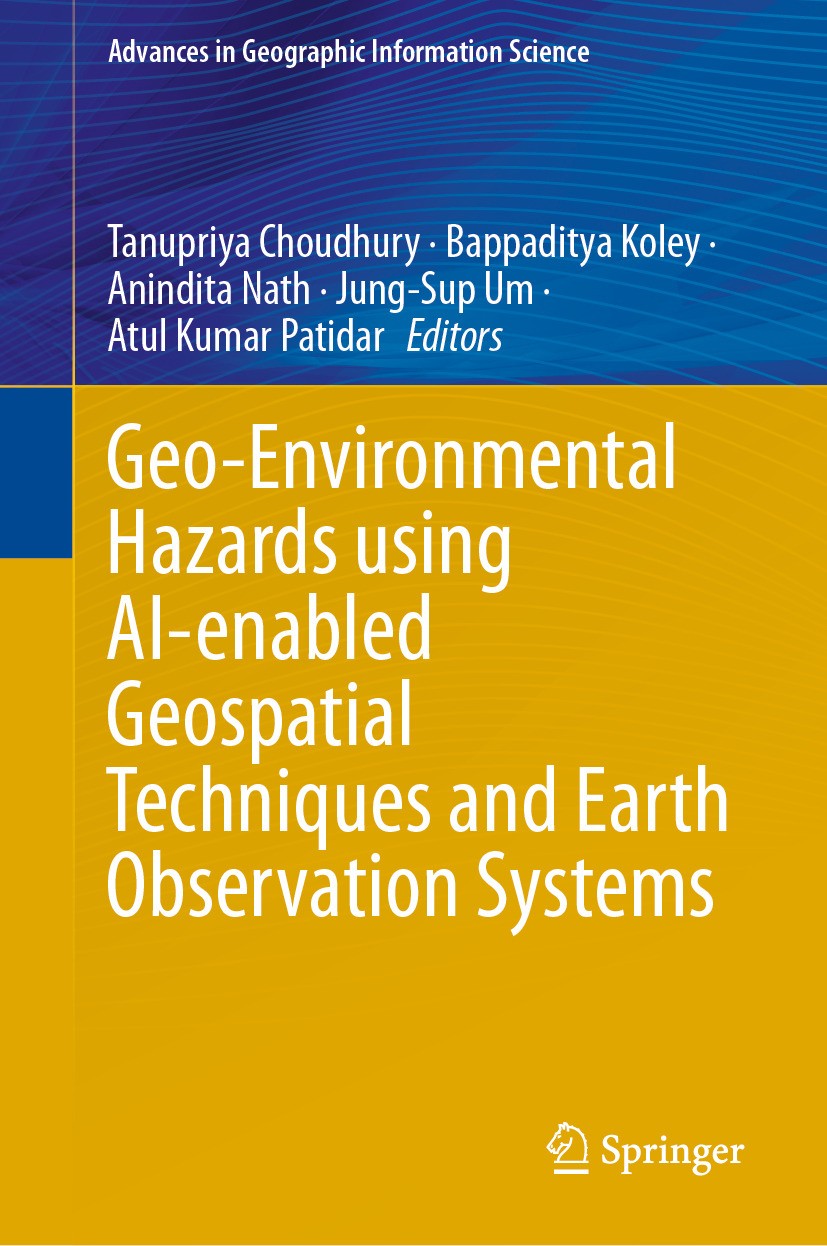
Titlebook: Geo-Environmental Hazards using AI-enabled Geospatial Techniques and Earth Observation Systems; Tanupriya Choudhury,Bappaditya Koley,Atul

[复制链接]
查看: 22763|回复: 61
发表于 2025-3-21 19:47:48 | 显示全部楼层 |阅读模式
书目名称Geo-Environmental Hazards using AI-enabled Geospatial Techniques and Earth Observation Systems
编辑Tanupriya Choudhury,Bappaditya Koley,Atul Kumar Pa
视频video
概述Offers a multidisciplinary approach to assess impacts of geo-environmental hazards.Describes the stages needed to progress from a pile of data to an actionable plan.Explains how to use data-driven tec
丛书名称Advances in Geographic Information Science
图书封面Titlebook: Geo-Environmental Hazards using AI-enabled Geospatial Techniques and Earth Observation Systems;  Tanupriya Choudhury,Bappaditya Koley,Atul
描述.This edited collection provides a comprehensive exploration of cutting-edge ideas, approaches, simulations, evaluations of risk, and systems that enhance the practicality of current geospatial technologies for reducing hazard risks. The various sections within this book delve into subjects such as the foundational principles of Earth Observation Systems (EOS) and geospatial methodologies. Additionally, the text serves as an advisory resource on the collaborative use of satellite-derived data and artificial intelligence to track and alleviate geo-environmental threats. .The volume imparts extensive understanding regarding geo-environmental dangers and their analysis via EOS along with geospatial strategies. It encompasses key hazard-related themes including coastal degradation, predisposition to landslides, mapping vegetation coverages, tropical storm patterns, soil depletion due to erosion processes, vulnerability to rapid or extended flooding events, variations in oceansurface temperatures alongside chlorophyll-a levels; it also addresses assessments related to groundwater reserves and quality measures as well as sustainable management practices for watersheds that support commun
出版日期Book 2024
关键词Artificial intelligence; Earth observation systems; Remote sensing; Sustainable management; Geospatial t
版次1
doihttps://doi.org/10.1007/978-3-031-53763-9
isbn_softcover978-3-031-53765-3
isbn_ebook978-3-031-53763-9Series ISSN 1867-2434 Series E-ISSN 1867-2442
issn_series 1867-2434
copyrightThe Editor(s) (if applicable) and The Author(s), under exclusive license to Springer Nature Switzerl
The information of publication is updating

书目名称Geo-Environmental Hazards using AI-enabled Geospatial Techniques and Earth Observation Systems影响因子(影响力)


书目名称Geo-Environmental Hazards using AI-enabled Geospatial Techniques and Earth Observation Systems影响因子(影响力)学科排名


书目名称Geo-Environmental Hazards using AI-enabled Geospatial Techniques and Earth Observation Systems网络公开度


书目名称Geo-Environmental Hazards using AI-enabled Geospatial Techniques and Earth Observation Systems网络公开度学科排名


书目名称Geo-Environmental Hazards using AI-enabled Geospatial Techniques and Earth Observation Systems被引频次


书目名称Geo-Environmental Hazards using AI-enabled Geospatial Techniques and Earth Observation Systems被引频次学科排名


书目名称Geo-Environmental Hazards using AI-enabled Geospatial Techniques and Earth Observation Systems年度引用


书目名称Geo-Environmental Hazards using AI-enabled Geospatial Techniques and Earth Observation Systems年度引用学科排名


书目名称Geo-Environmental Hazards using AI-enabled Geospatial Techniques and Earth Observation Systems读者反馈


书目名称Geo-Environmental Hazards using AI-enabled Geospatial Techniques and Earth Observation Systems读者反馈学科排名


单选投票, 共有 1 人参与投票
 

0票 0.00%

Perfect with Aesthetics


1票 100.00%

Better Implies Difficulty


0票 0.00%

Good and Satisfactory


0票 0.00%

Adverse Performance


0票 0.00%

Disdainful Garbage

您所在的用户组没有投票权限
发表于 2025-3-21 20:47:16 | 显示全部楼层
https://doi.org/10.1007/978-3-642-94305-8ted in the Southern Ethiopian Rift Valley. Consequently, land becomes degraded, biodiversity declines, and agricultural production decreases. Identification of susceptible soil erosion zones is highly needed to develop effective soil erosion management and conservation plans. The present study mainl
发表于 2025-3-22 00:46:47 | 显示全部楼层
https://doi.org/10.1007/978-3-663-16117-2s such as net shoreline movement (NSM) and linear regression rate (LRR) were computed along 37.8 km stretch of the BS coast using the Digital Shoreline Analysis System (DSAS) software. About 81.7% of the shore eroded between 1975 and 1989, but between 1989 to 2005 and 2005 to 2020, this percentage s
发表于 2025-3-22 06:48:40 | 显示全部楼层
,Die Niederdruckentladung mit Glühkathode,nthropogenic activities have put the bio–geo ecosystems under tremendous stress. The deterioration of coastal waters has become a global occurrence due to pollution and coastal eutrophication, negatively impacting marine biodiversity. This work uses remote sensing datasets to quantitatively demonstr
发表于 2025-3-22 11:43:37 | 显示全部楼层
https://doi.org/10.1007/978-3-663-04622-6m plains. Due to landslides, the lives of human beings get endangered along with economic loss to a large extent. Susceptibility assessment and mapping are crucial aspects of the mitigation and management of landslide catastrophes in a region. This study was undertaken in a quest to assess the perfo
发表于 2025-3-22 14:24:27 | 显示全部楼层
https://doi.org/10.1007/978-3-662-26277-1one hilly states. Nainital, Udham Singh Nagar, and Haridwar are the three main districts prone to flood. Also, the National Institute of Disaster Management Report on Uttarakhand’s disaster in 2013 mentions that Nainital and Udham Singh Nagar districts witnessed major flash floods several times. The
发表于 2025-3-22 17:39:53 | 显示全部楼层
https://doi.org/10.1007/978-3-322-88418-3looding that affects millions of Filipinos. Mapping flooding hazards, especially in remote areas of the country, can provide essential inputs to manage and reduce the risk and impact of flooding on different infrastructures, properties, and people. Statistical and machine learning approaches have pr
发表于 2025-3-23 01:07:30 | 显示全部楼层
Beratungsangebot der Hanauer Hilfe e.V.th urban and rural areas, protecting groundwater from harmful factors is a top priority. Managing groundwater quality, however, requires a variety of methods, including hydrochemical mapping and quality monitoring to understand its variability over time and space as well as its long-term trend, the
发表于 2025-3-23 01:32:03 | 显示全部楼层
发表于 2025-3-23 05:40:30 | 显示全部楼层
 关于派博传思  派博传思旗下网站  友情链接
派博传思介绍 公司地理位置 论文服务流程 影响因子官网 SITEMAP 大讲堂 北京大学 Oxford Uni. Harvard Uni.
发展历史沿革 期刊点评 投稿经验总结 SCIENCEGARD IMPACTFACTOR 派博系数 清华大学 Yale Uni. Stanford Uni.
|Archiver|手机版|小黑屋| 派博传思国际 ( 京公网安备110108008328) GMT+8, 2025-5-22 02:36
Copyright © 2001-2015 派博传思   京公网安备110108008328 版权所有 All rights reserved
快速回复 返回顶部 返回列表