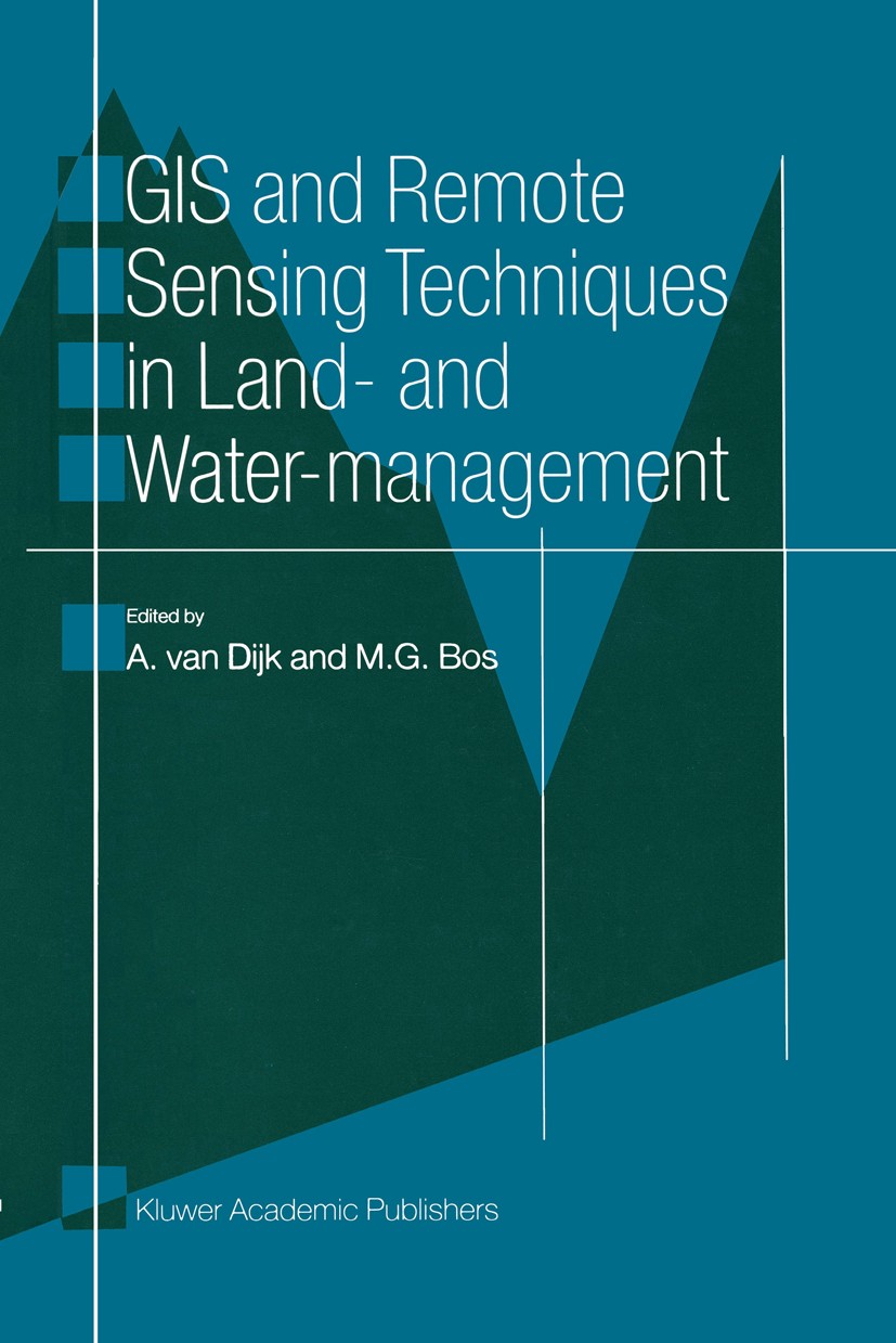
| 书目名称 | GIS and Remote Sensing Techniques in Land- and Water-management |
| 编辑 | A. Dijk,M. G. Bos |
| 视频video | http://file.papertrans.cn/381/380115/380115.mp4 |
| 图书封面 |  |
| 描述 | Managing land and water is a complex affair. Decisions must bemade constantly to allocate and use natural resources. Decision andaction in any use of resources often have strong interactions andside-effects on others, therefore it is extremely important to monitorand forecast the impacts of the decisions very carefully. Reliableinformation and clear data manipulation procedures are compulsory formonitoring and forecasting. .Remote Sensing has considerable potential to provide reliableinformation. A Geographic Information System is an easy tool formanipulating and analysing the data in a clear and fast way. This bookdescribes in seven practical examples how GIS and Remote Sensingtechniques are successfully applied in land and water management. |
| 出版日期 | Book 2001 |
| 关键词 | GIS; Geoinformationssysteme; database; remote sensing; satellite; remote sensing/photogrammetry |
| 版次 | 1 |
| doi | https://doi.org/10.1007/978-94-009-0005-9 |
| isbn_softcover | 978-94-010-6492-7 |
| isbn_ebook | 978-94-009-0005-9 |
| copyright | Kluwer Academic Publishers 2001 |
 |Archiver|手机版|小黑屋|
派博传思国际
( 京公网安备110108008328)
GMT+8, 2026-1-22 13:21


