找回密码
 To register

QQ登录

只需一步,快速开始

扫一扫,访问微社区

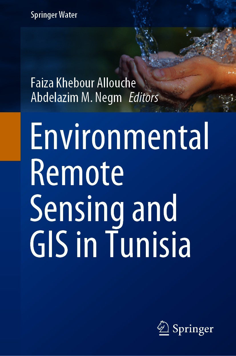
Titlebook: Environmental Remote Sensing and GIS in Tunisia; Faiza Khebour Allouche,Abdelazim M. Negm Book 2021 The Editor(s) (if applicable) and The

[复制链接]
查看: 13445|回复: 51
发表于 2025-3-21 16:22:20 | 显示全部楼层 |阅读模式
书目名称Environmental Remote Sensing and GIS in Tunisia
编辑Faiza Khebour Allouche,Abdelazim M. Negm
视频video
概述Enriches readers’ understanding of the importance of remote sensing and GIS tools with regard to assessing and monitoring environmental processes.Provides various multi-sensor approaches for remotely
丛书名称Springer Water
图书封面Titlebook: Environmental Remote Sensing and GIS in Tunisia;  Faiza Khebour Allouche,Abdelazim M. Negm Book 2021 The Editor(s) (if applicable) and The
描述.This book focuses on monitoring and assessing various environmental processes in Tunisia using state-of-the-art remote sensing and GIS technologies. In addition to addressing the diversity of Tunisian landscapes and providing spatial analysis of natural, cultivated and urbanized environments. It presents and discusses several case studies on integrated RS / GIS approaches for mapping, modeling, monitoring and evaluation. Moreover, in this volume authored by experts in the topic from Tunisia and other countries, authors assess the agro-environmental applications from Tunisia and offer different methods and applications to environmental processes and risks including drought, degradation, flood, planning, Yield estimation, dust storm detection, dry land vulnerability, wetland dynamics and others. The material presented here will help decision-makers plan sustainable landscape and agricultural management policies that preserve biodiversity and contribute to achieving sustainability goals and for researchers, it will expose methodological approaches used in different fields of research. Graduate students and Practionioner engineers working in the field of RS/GIS will also benefit from
出版日期Book 2021
关键词Environmental Mapping; Risk Assessment; Monitoring and Resources Mapping; Environmental Applications; En
版次1
doihttps://doi.org/10.1007/978-3-030-63668-5
isbn_softcover978-3-030-63670-8
isbn_ebook978-3-030-63668-5Series ISSN 2364-6934 Series E-ISSN 2364-8198
issn_series 2364-6934
copyrightThe Editor(s) (if applicable) and The Author(s), under exclusive license to Springer Nature Switzerl
The information of publication is updating

书目名称Environmental Remote Sensing and GIS in Tunisia影响因子(影响力)


书目名称Environmental Remote Sensing and GIS in Tunisia影响因子(影响力)学科排名


书目名称Environmental Remote Sensing and GIS in Tunisia网络公开度


书目名称Environmental Remote Sensing and GIS in Tunisia网络公开度学科排名


书目名称Environmental Remote Sensing and GIS in Tunisia被引频次


书目名称Environmental Remote Sensing and GIS in Tunisia被引频次学科排名


书目名称Environmental Remote Sensing and GIS in Tunisia年度引用


书目名称Environmental Remote Sensing and GIS in Tunisia年度引用学科排名


书目名称Environmental Remote Sensing and GIS in Tunisia读者反馈


书目名称Environmental Remote Sensing and GIS in Tunisia读者反馈学科排名


单选投票, 共有 0 人参与投票
 

0票 0%

Perfect with Aesthetics


0票 0%

Better Implies Difficulty


0票 0%

Good and Satisfactory


0票 0%

Adverse Performance


0票 0%

Disdainful Garbage

您所在的用户组没有投票权限
发表于 2025-3-22 00:03:50 | 显示全部楼层
https://doi.org/10.1007/978-3-319-95489-9asymetric method was applied to large spaces, whether national or regional, scarcely to urban spaces. The purpose of the chapter book is to give a real idea on the human environment of Tunisia. This will be achieved through the elaboration of a 1:1000000 scale dasymetric map of the population of Tun
发表于 2025-3-22 01:25:46 | 显示全部楼层
https://doi.org/10.1007/978-3-0348-7574-587 and 2011 revealed an expansion of urban areas at the expense of the Meskat system. Indeed, urban areas recorded an increase of 1, 8, and 4%, while areas occupied by Meskat system were decreased by 6, 8, and 13% for the Sabkha Halek El Menjel, Laya El Hammam Wadi and Hamdoun Wadi watersheds, respe
发表于 2025-3-22 08:33:22 | 显示全部楼层
发表于 2025-3-22 10:54:45 | 显示全部楼层
Timothy W. Elig,Irene Hanson Friezepart, respectively. Vulnerability methods comparison and spatial distribution of groundwater nitrate content tend to indicate that Pesticide DRASTIC better reflects the specific aquifer vulnerability than SI. Standard DRASTIC, as intrinsic vulnerability method, reflect worst the specific vulnerabili
发表于 2025-3-22 14:11:23 | 显示全部楼层
发表于 2025-3-22 20:25:31 | 显示全部楼层
发表于 2025-3-22 23:30:51 | 显示全部楼层
Approaching the Tunisian Human Environment by Using RS and the Dasymetric Methodasymetric method was applied to large spaces, whether national or regional, scarcely to urban spaces. The purpose of the chapter book is to give a real idea on the human environment of Tunisia. This will be achieved through the elaboration of a 1:1000000 scale dasymetric map of the population of Tun
发表于 2025-3-23 03:16:55 | 显示全部楼层
Spatio-Temporal Monitoring of the Meskat System Distribution in the Tunisian Sahel Region Using TM L87 and 2011 revealed an expansion of urban areas at the expense of the Meskat system. Indeed, urban areas recorded an increase of 1, 8, and 4%, while areas occupied by Meskat system were decreased by 6, 8, and 13% for the Sabkha Halek El Menjel, Laya El Hammam Wadi and Hamdoun Wadi watersheds, respe
发表于 2025-3-23 08:15:28 | 显示全部楼层
 关于派博传思  派博传思旗下网站  友情链接
派博传思介绍 公司地理位置 论文服务流程 影响因子官网 SITEMAP 大讲堂 北京大学 Oxford Uni. Harvard Uni.
发展历史沿革 期刊点评 投稿经验总结 SCIENCEGARD IMPACTFACTOR 派博系数 清华大学 Yale Uni. Stanford Uni.
|Archiver|手机版|小黑屋| 派博传思国际 ( 京公网安备110108008328) GMT+8, 2025-5-11 08:50
Copyright © 2001-2015 派博传思   京公网安备110108008328 版权所有 All rights reserved
快速回复 返回顶部 返回列表