| 书目名称 | Spatial Information Technology for Sustainable Development Goals |
| 编辑 | Dilip Kumar,R.B. Singh,Ranjeet Kaur |
| 视频video | http://file.papertrans.cn/874/873501/873501.mp4 |
| 概述 | Offers an important policy analysis tool for mapping SDGs synergies.Includes the fundamental concepts to advance techniques for spatial data management and analysis as an integrated manner for resourc |
| 丛书名称 | Sustainable Development Goals Series |
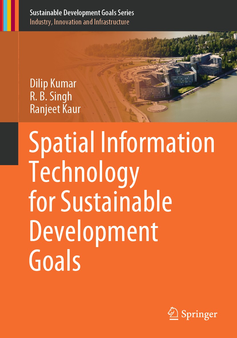
| 图书封面 |  |
| 描述 | This textbook aims to develop a scientific knowledge base on spatial information technology to communicate the United Nations‘ Sustainable Development Goals (SDGs) among students, researchers, professionals and laymen. The book improves understanding of the spatial database and explains how to extract information from this for planning purposes.. .To enhance the knowledge of geoscientists and environmentalists, the book describes the basic fundamental concepts to advance techniques for spatial data management and analysis and discusses the methodology. The Geographic Information System (GIS), remote sensing and Global Positioning System (GPS) are presented in an integrated manner for the planning of resources and infrastructure. The management of these systems is discussed in a very lucid way to develop the reader‘s skills. .The proper procedure for map making and spatial analysis are included along with case studies to the reader. Where thefirst part of the book discusses the conceptual background, the second part deals with case studies using these applications in different disciplines. The presented case studies include land use, agriculture, flood, watershed characterization an |
| 出版日期 | Textbook 2019 |
| 关键词 | Remote Sensing; Geographic Information System; Spatial Information Technology; Global Positioning Syste |
| 版次 | 1 |
| doi | https://doi.org/10.1007/978-3-319-58039-5 |
| isbn_ebook | 978-3-319-58039-5Series ISSN 2523-3084 Series E-ISSN 2523-3092 |
| issn_series | 2523-3084 |
| copyright | Springer International Publishing AG 2019 |
 |Archiver|手机版|小黑屋|
派博传思国际
( 京公网安备110108008328)
GMT+8, 2026-2-8 13:27


