找回密码
 To register

QQ登录

只需一步,快速开始

扫一扫,访问微社区

Titlebook: Remote Sensing and GIScience; Challenges and Futur Pavan Kumar,Haroon Sajjad,Meenu Rani Book 2021 The Editor(s) (if applicable) and The Aut

[复制链接]
查看: 42146|回复: 47
发表于 2025-3-21 17:44:18 | 显示全部楼层 |阅读模式
书目名称Remote Sensing and GIScience
副标题Challenges and Futur
编辑Pavan Kumar,Haroon Sajjad,Meenu Rani
视频video
概述Offers insights into GIScience technology for applications in forestry, agriculture and water.Highlights recent developments in geo-spatial techniques for sustainable development.Helps to advance the
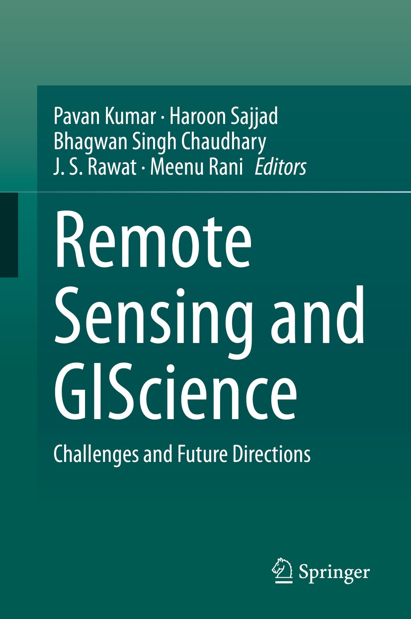
图书封面Titlebook: Remote Sensing and GIScience; Challenges and Futur Pavan Kumar,Haroon Sajjad,Meenu Rani Book 2021 The Editor(s) (if applicable) and The Aut
描述.This book covers several themes related to forestry, agriculture, water, soil, urban, and atmospheric research. GIScience technology systems have increased in significance in recent decades and have the ability to acquire information at ground level with a higher spectral resolution using a field radio-spectrometer, which is a great improvement compared to other remote sensing systems. GIScience technology systems are widely used for solving and understanding the concept of forestry, crop, water resources, and related research themes. This book aims to advance the scientific understanding of GIScience technology and applications. The chapters present GIScience data integration with other sources such as LiDAR, Multi-spectral data and their applications in forestry, crop assessment, soil assessment, mineral mapping and related themes. The book will be of interest to geospatial experts, modellers, foresters, agricultural scientists, hyperspectral remote sensing and space community, ecologists and conservation communities, environmental consultants, big data compilers, and computing experts. .
出版日期Book 2021
关键词Applied Earth Sciences; Applied Natural Science; Challenges and Future Dirctions; Environmental systems
版次1
doihttps://doi.org/10.1007/978-3-030-55092-9
isbn_softcover978-3-030-55094-3
isbn_ebook978-3-030-55092-9
copyrightThe Editor(s) (if applicable) and The Author(s), under exclusive license to Springer Nature Switzerl
The information of publication is updating

书目名称Remote Sensing and GIScience影响因子(影响力)


书目名称Remote Sensing and GIScience影响因子(影响力)学科排名


书目名称Remote Sensing and GIScience网络公开度


书目名称Remote Sensing and GIScience网络公开度学科排名


书目名称Remote Sensing and GIScience被引频次


书目名称Remote Sensing and GIScience被引频次学科排名


书目名称Remote Sensing and GIScience年度引用


书目名称Remote Sensing and GIScience年度引用学科排名


书目名称Remote Sensing and GIScience读者反馈


书目名称Remote Sensing and GIScience读者反馈学科排名


单选投票, 共有 0 人参与投票
 

0票 0%

Perfect with Aesthetics


0票 0%

Better Implies Difficulty


0票 0%

Good and Satisfactory


0票 0%

Adverse Performance


0票 0%

Disdainful Garbage

您所在的用户组没有投票权限
发表于 2025-3-21 22:39:13 | 显示全部楼层
发表于 2025-3-22 02:16:08 | 显示全部楼层
http://image.papertrans.cn/r/image/826906.jpg
发表于 2025-3-22 05:31:15 | 显示全部楼层
https://doi.org/10.1007/978-3-030-55092-9Applied Earth Sciences; Applied Natural Science; Challenges and Future Dirctions; Environmental systems
发表于 2025-3-22 08:47:55 | 显示全部楼层
Book 2021reased in significance in recent decades and have the ability to acquire information at ground level with a higher spectral resolution using a field radio-spectrometer, which is a great improvement compared to other remote sensing systems. GIScience technology systems are widely used for solving and
发表于 2025-3-22 15:48:57 | 显示全部楼层
发表于 2025-3-22 19:18:51 | 显示全部楼层
发表于 2025-3-23 00:06:50 | 显示全部楼层
Assessment of Vegetation Vigor Using Integrated Synthetic Aperture Radarsation vigor. Accurate and precise assessment of biomass is henceforth important for specifying the health of vegetation that is indicative of a collection of several environmental factors. Remote sensing has currently emerged to be the most important and widely utilized tool for biomass assessment.
发表于 2025-3-23 03:48:48 | 显示全部楼层
Landslide Susceptibility Mapping Using Bivariate Frequency Ratio Model and Geospatial Techniques: A nglong West district in Assam, India. Past landslide locations were extracted from the landslide hazard zonation map of Assam for preparing landslide susceptibility. Of the total past landslide locations, 70% locations were utilized for building the model and 30% locations for validating landslide s
发表于 2025-3-23 07:13:28 | 显示全部楼层
 关于派博传思  派博传思旗下网站  友情链接
派博传思介绍 公司地理位置 论文服务流程 影响因子官网 SITEMAP 大讲堂 北京大学 Oxford Uni. Harvard Uni.
发展历史沿革 期刊点评 投稿经验总结 SCIENCEGARD IMPACTFACTOR 派博系数 清华大学 Yale Uni. Stanford Uni.
|Archiver|手机版|小黑屋| 派博传思国际 ( 京公网安备110108008328) GMT+8, 2025-6-9 16:49
Copyright © 2001-2015 派博传思   京公网安备110108008328 版权所有 All rights reserved
快速回复 返回顶部 返回列表