找回密码
 To register

QQ登录

只需一步,快速开始

扫一扫,访问微社区

Titlebook: Remote Sensing Image Analysis: Including the Spatial Domain; Steven M. De Jong,Freek D. Van der Meer Book 2004 Springer Science+Business M

[复制链接]
查看: 43461|回复: 54
发表于 2025-3-21 17:31:21 | 显示全部楼层 |阅读模式
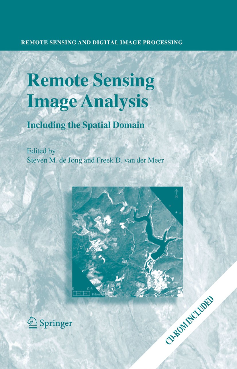
书目名称Remote Sensing Image Analysis: Including the Spatial Domain
编辑Steven M. De Jong,Freek D. Van der Meer
视频video
概述Follow-up to the previous publication Imaging Spectrometry - Basic Principles and Prospective Applications (2001) by the same Editors.Shift from spectrally based techniques to spatial-based approaches
丛书名称Remote Sensing and Digital Image Processing
图书封面Titlebook: Remote Sensing Image Analysis: Including the Spatial Domain;  Steven M. De Jong,Freek D. Van der Meer Book 2004 Springer Science+Business M
描述.Remote Sensing image analysis is mostly done using only spectral information on a pixel by pixel basis. Information captured in neighbouring cells, or information about patterns surrounding the pixel of interest often provides useful supplementary information. This book presents a wide range of innovative and advanced image processing methods for including spatial information, captured by neighbouring pixels in remotely sensed images, to improve image interpretation or image classification. Presented methods include different types of variogram analysis, various methods for texture quantification, smart kernel operators, pattern recognition techniques, image segmentation methods, sub-pixel methods, wavelets and advanced spectral mixture analysis techniques. Apart from explaining the working methods in detail a wide range of applications is presented covering land cover and land use mapping, environmental applications such as heavy metal pollution, urban mapping and geological applications to detect hydrocarbon seeps. .The book is meant for professionals, PhD students and graduates who use remote sensing image analysis, image interpretation and image classification in their work re
出版日期Book 2004
关键词Earth System; LED; digital elevation model; environmental remote sensing; geostatistics; image processing
版次1
doihttps://doi.org/10.1007/978-1-4020-2560-0
isbn_softcover978-94-017-4061-6
isbn_ebook978-1-4020-2560-0Series ISSN 1567-3200 Series E-ISSN 2215-1842
issn_series 1567-3200
copyrightSpringer Science+Business Media Dordrecht 2004
The information of publication is updating

书目名称Remote Sensing Image Analysis: Including the Spatial Domain影响因子(影响力)


书目名称Remote Sensing Image Analysis: Including the Spatial Domain影响因子(影响力)学科排名


书目名称Remote Sensing Image Analysis: Including the Spatial Domain网络公开度


书目名称Remote Sensing Image Analysis: Including the Spatial Domain网络公开度学科排名


书目名称Remote Sensing Image Analysis: Including the Spatial Domain被引频次


书目名称Remote Sensing Image Analysis: Including the Spatial Domain被引频次学科排名


书目名称Remote Sensing Image Analysis: Including the Spatial Domain年度引用


书目名称Remote Sensing Image Analysis: Including the Spatial Domain年度引用学科排名


书目名称Remote Sensing Image Analysis: Including the Spatial Domain读者反馈


书目名称Remote Sensing Image Analysis: Including the Spatial Domain读者反馈学科排名


单选投票, 共有 0 人参与投票
 

0票 0%

Perfect with Aesthetics


0票 0%

Better Implies Difficulty


0票 0%

Good and Satisfactory


0票 0%

Adverse Performance


0票 0%

Disdainful Garbage

您所在的用户组没有投票权限
发表于 2025-3-21 22:22:17 | 显示全部楼层
Remote Sensing and Digital Image Processinghttp://image.papertrans.cn/r/image/826894.jpg
发表于 2025-3-22 01:01:08 | 显示全部楼层
https://doi.org/10.1007/978-1-4020-2560-0Earth System; LED; digital elevation model; environmental remote sensing; geostatistics; image processing
发表于 2025-3-22 04:47:22 | 显示全部楼层
978-94-017-4061-6Springer Science+Business Media Dordrecht 2004
发表于 2025-3-22 11:18:01 | 显示全部楼层
Remote Sensing Image Analysis: Including the Spatial Domain978-1-4020-2560-0Series ISSN 1567-3200 Series E-ISSN 2215-1842
发表于 2025-3-22 16:58:55 | 显示全部楼层
Book 2004r information about patterns surrounding the pixel of interest often provides useful supplementary information. This book presents a wide range of innovative and advanced image processing methods for including spatial information, captured by neighbouring pixels in remotely sensed images, to improve
发表于 2025-3-22 18:18:51 | 显示全部楼层
1567-3200 from spectrally based techniques to spatial-based approaches.Remote Sensing image analysis is mostly done using only spectral information on a pixel by pixel basis. Information captured in neighbouring cells, or information about patterns surrounding the pixel of interest often provides useful suppl
发表于 2025-3-23 01:07:30 | 显示全部楼层
发表于 2025-3-23 04:03:10 | 显示全部楼层
Steven M. de Jong,Edzer J. Pebesma,Freek D. van der Meerwould follow the adoption of that scheme. In general such ideas concerning any one scheme might compose a single-line history-to-come of the company’s affairs, that is to say, a history which gives no more than one answer to any question. Or, the ideas may lead to the forming, for each scheme, of a
发表于 2025-3-23 06:46:04 | 显示全部楼层
Giles M. Foodyt leave a non-economist somewhat baffled: what do any of them have to do with the organization of work? There is little or nothing about the costs and benefits of different ways of scheduling work flows or factory organization or autonomous work groups, etc. These are the sorts of questions which in
 关于派博传思  派博传思旗下网站  友情链接
派博传思介绍 公司地理位置 论文服务流程 影响因子官网 SITEMAP 大讲堂 北京大学 Oxford Uni. Harvard Uni.
发展历史沿革 期刊点评 投稿经验总结 SCIENCEGARD IMPACTFACTOR 派博系数 清华大学 Yale Uni. Stanford Uni.
|Archiver|手机版|小黑屋| 派博传思国际 ( 京公网安备110108008328) GMT+8, 2025-6-21 12:19
Copyright © 2001-2015 派博传思   京公网安备110108008328 版权所有 All rights reserved
快速回复 返回顶部 返回列表