| 书目名称 | Radar Interferometry |
| 副标题 | Data Interpretation |
| 编辑 | Ramon F. Hanssen |
| 视频video | http://file.papertrans.cn/821/820388/820388.mp4 |
| 丛书名称 | Remote Sensing and Digital Image Processing |
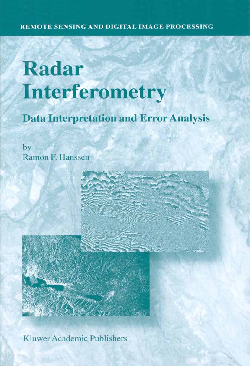
| 图书封面 |  |
| 描述 | This book is the product of five and a half years of research dedicated to the und- standing of radar interferometry, a relatively new space-geodetic technique for m- suring the earth’s topography and its deformation. The main reason for undertaking this work, early 1995, was the fact that this technique proved to be extremely useful for wide-scale, fine-resolution deformation measurements. Especially the interf- ometric products from the ERS-1 satellite provided beautiful first results—several interferometric images appeared as highlights on the cover of journals such as Nature and Science. Accuracies of a few millimeters in the radar line of sight were claimed in semi-continuous image data acquired globally, irrespective of cloud cover or solar illumination. Unfortunately, because of the relative lack of supportive observations at these resolutions and accuracies, validation of the precision and reliability of the results remained an issue of concern. From a geodetic point of view, several survey techniques are commonly available to measure a specific geophysical phenomenon. To make an optimal choice between these techniques it is important to have a uniform and quantitative appr |
| 出版日期 | Book 2001 |
| 关键词 | Geoinformationssysteme; Meteorology; data analysis; geodesy; geophysics; remote sensing; satellite; systems |
| 版次 | 1 |
| doi | https://doi.org/10.1007/0-306-47633-9 |
| isbn_softcover | 978-90-481-5696-2 |
| isbn_ebook | 978-0-306-47633-4Series ISSN 1567-3200 Series E-ISSN 2215-1842 |
| issn_series | 1567-3200 |
| copyright | Springer Science+Business Media Dordrecht 2001 |
 |Archiver|手机版|小黑屋|
派博传思国际
( 京公网安备110108008328)
GMT+8, 2025-12-28 16:06


