找回密码
 To register

QQ登录

只需一步,快速开始

扫一扫,访问微社区

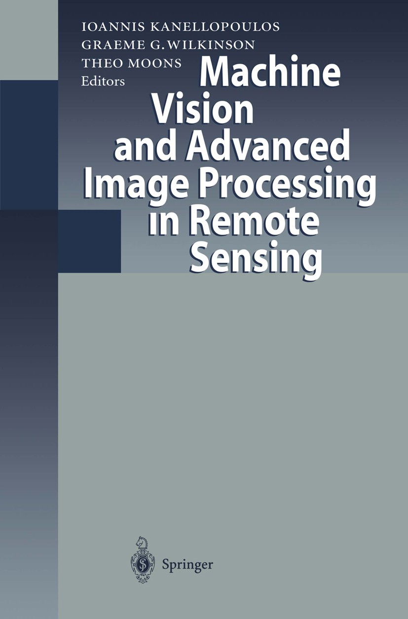
Titlebook: Machine Vision and Advanced Image Processing in Remote Sensing; Proceedings of Conce Ioannis Kanellopoulos,Graeme G. Wilkinson,Theo Moo Con

[复制链接]
查看: 26205|回复: 59
发表于 2025-3-21 19:05:25 | 显示全部楼层 |阅读模式
书目名称Machine Vision and Advanced Image Processing in Remote Sensing
副标题Proceedings of Conce
编辑Ioannis Kanellopoulos,Graeme G. Wilkinson,Theo Moo
视频video
概述Good overview of the state of the art in Europe in advanced image analysis techniques for remote sensing.Insight to computer vision techniques and software tools that could be used in future remote se
图书封面Titlebook: Machine Vision and Advanced Image Processing in Remote Sensing; Proceedings of Conce Ioannis Kanellopoulos,Graeme G. Wilkinson,Theo Moo Con
描述Since 1994, the European Commission has undertaken various actions to expand the use of Earth observation (EO) from space in the Union and to stimulate value-added services based on the use of Earth observation satellite data.‘ By supporting research and technological development activities in this area, DG XII responded to the need to increase the cost-effectiveness of space­ derived environmental information. At the same time, it has contributed to a better exploitation of this unique technology, which is a key source of data for environmental monitoring from local to global scale. MAVIRIC is part of the investment made in the context of the Environ­ ment and Climate Programme (1994-1998) to strengthen applied techniques, based on a better understanding of the link between the remote sensing signal and the underlying bio- geo-physical processes. Translation of this scientific know-how into practical algorithms or methods is a priority in order to con­ vert more quickly, effectively and accurately space signals into geographical information. Now the availability of high spatial resolution satellite data is rapidly evolving and the fusion of data from different sensors including ra
出版日期Conference proceedings 1999
关键词3D; Augmented Reality; Change detection; Computer Vision; Hough transform; Image segmentation; LED; Stereo;
版次1
doihttps://doi.org/10.1007/978-3-642-60105-7
isbn_softcover978-3-642-64260-9
isbn_ebook978-3-642-60105-7
copyrightSpringer-Verlag Berlin · Heidelberg 1999
The information of publication is updating

书目名称Machine Vision and Advanced Image Processing in Remote Sensing影响因子(影响力)


书目名称Machine Vision and Advanced Image Processing in Remote Sensing影响因子(影响力)学科排名


书目名称Machine Vision and Advanced Image Processing in Remote Sensing网络公开度


书目名称Machine Vision and Advanced Image Processing in Remote Sensing网络公开度学科排名


书目名称Machine Vision and Advanced Image Processing in Remote Sensing被引频次


书目名称Machine Vision and Advanced Image Processing in Remote Sensing被引频次学科排名


书目名称Machine Vision and Advanced Image Processing in Remote Sensing年度引用


书目名称Machine Vision and Advanced Image Processing in Remote Sensing年度引用学科排名


书目名称Machine Vision and Advanced Image Processing in Remote Sensing读者反馈


书目名称Machine Vision and Advanced Image Processing in Remote Sensing读者反馈学科排名


单选投票, 共有 0 人参与投票
 

0票 0%

Perfect with Aesthetics


0票 0%

Better Implies Difficulty


0票 0%

Good and Satisfactory


0票 0%

Adverse Performance


0票 0%

Disdainful Garbage

您所在的用户组没有投票权限
发表于 2025-3-21 21:24:22 | 显示全部楼层
发表于 2025-3-22 02:53:38 | 显示全部楼层
发表于 2025-3-22 04:52:49 | 显示全部楼层
发表于 2025-3-22 10:24:59 | 显示全部楼层
P. Boekaerts,V. Christopoulos,A. Munteanu,J. Cornelis
发表于 2025-3-22 15:15:44 | 显示全部楼层
Tuomas Häme,Mikael Holm,Susanna Rautakorpi,Eija Parmes
发表于 2025-3-22 17:53:04 | 显示全部楼层
Multi-Channel Remote Sensing Data and Orthogonal Transformations for Change Detectionretching and masking of the change images shows the usefulness of the new MAD and MAF/MAD change detection schemes. A simple simulation of a no-change situation shows the power of the MAD and MAF/MAD transformations
发表于 2025-3-22 21:25:05 | 显示全部楼层
发表于 2025-3-23 03:17:20 | 显示全部楼层
Image Analysis Techniques for Urban Land Use Classification. The Use of Kernel Based Approaches to P imagery over the city of Athens is presented. Although some of these techniques return rather satisfactory results, the need for the development of more advanced interpretation methods, which integrate human reasoning in object identification is considered as indispensable, as the spatial resolutio
发表于 2025-3-23 06:38:31 | 显示全部楼层
Visualizing Remotely Sensed Depth Maps using Voxelsy changed this panorama. This is the ideal arena for normal computer graphics surfaces to be visualized in the voxel format. The visualization of remotely sensed depth maps can also benefit of these techniques and profit of a number of advantages over traditional graphics.
 关于派博传思  派博传思旗下网站  友情链接
派博传思介绍 公司地理位置 论文服务流程 影响因子官网 SITEMAP 大讲堂 北京大学 Oxford Uni. Harvard Uni.
发展历史沿革 期刊点评 投稿经验总结 SCIENCEGARD IMPACTFACTOR 派博系数 清华大学 Yale Uni. Stanford Uni.
|Archiver|手机版|小黑屋| 派博传思国际 ( 京公网安备110108008328) GMT+8, 2025-7-6 10:20
Copyright © 2001-2015 派博传思   京公网安备110108008328 版权所有 All rights reserved
快速回复 返回顶部 返回列表