找回密码
 To register

QQ登录

只需一步,快速开始

扫一扫,访问微社区

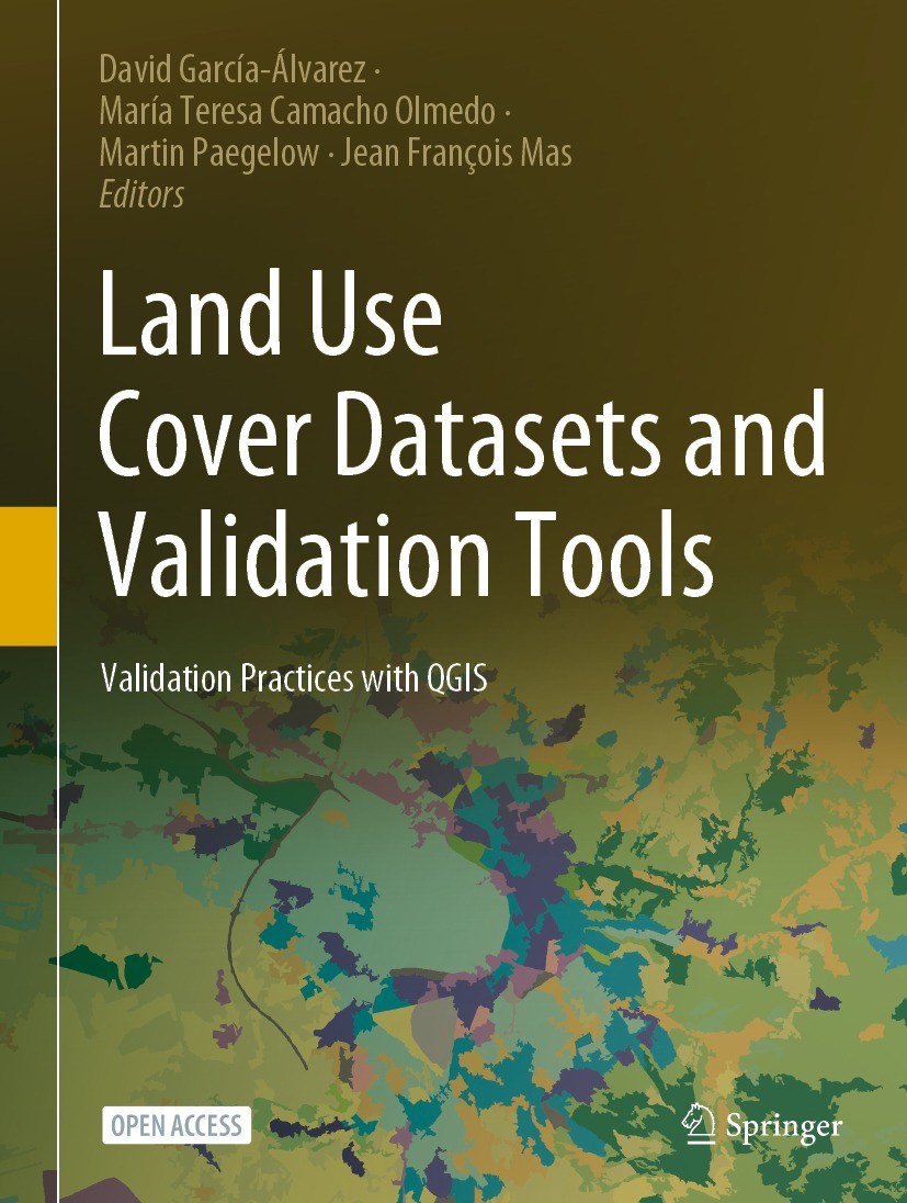
Titlebook: Land Use Cover Datasets and Validation Tools; Validation Practices David García-Álvarez,María Teresa Camacho Olmedo,J Book‘‘‘‘‘‘‘‘ 2022 The

[复制链接]
查看: 21059|回复: 63
发表于 2025-3-21 20:01:45 | 显示全部楼层 |阅读模式
书目名称Land Use Cover Datasets and Validation Tools
副标题Validation Practices
编辑David García-Álvarez,María Teresa Camacho Olmedo,J
视频video
概述Represents up-to-date comprehensive review of theory and techniques to validate land-use cover information.Provides detailed tutorials to easily apply most of the available validation techniques in op
图书封面Titlebook: Land Use Cover Datasets and Validation Tools; Validation Practices David García-Álvarez,María Teresa Camacho Olmedo,J Book‘‘‘‘‘‘‘‘ 2022 The
描述.This open access book represents a comprehensive review of available land-use cover data and techniques to validate and analyze this type of spatial information. The book provides the basic theory needed to understand the progress of LUCC mapping/modeling validation practice. It makes accessible to any interested user most of the research community‘s methods and techniques to validate LUC maps and models. Besides, this book is enriched with practical exercises to be applied with QGIS...The book includes a description of relevant global and supra-national LUC datasets currently available. Finally, the book provides the user with all the information required to manage and download these datasets..
出版日期Book‘‘‘‘‘‘‘‘ 2022
关键词Land Use Cover mapping; Land Use Cover Change modelling; Land Change science; Uncertainty; Validation ex
版次1
doihttps://doi.org/10.1007/978-3-030-90998-7
isbn_softcover978-3-030-91000-6
isbn_ebook978-3-030-90998-7
copyrightThe Editor(s) (if applicable) and The Author(s) 2022
The information of publication is updating

书目名称Land Use Cover Datasets and Validation Tools影响因子(影响力)


书目名称Land Use Cover Datasets and Validation Tools影响因子(影响力)学科排名


书目名称Land Use Cover Datasets and Validation Tools网络公开度


书目名称Land Use Cover Datasets and Validation Tools网络公开度学科排名


书目名称Land Use Cover Datasets and Validation Tools被引频次


书目名称Land Use Cover Datasets and Validation Tools被引频次学科排名


书目名称Land Use Cover Datasets and Validation Tools年度引用


书目名称Land Use Cover Datasets and Validation Tools年度引用学科排名


书目名称Land Use Cover Datasets and Validation Tools读者反馈


书目名称Land Use Cover Datasets and Validation Tools读者反馈学科排名


单选投票, 共有 0 人参与投票
 

0票 0%

Perfect with Aesthetics


0票 0%

Better Implies Difficulty


0票 0%

Good and Satisfactory


0票 0%

Adverse Performance


0票 0%

Disdainful Garbage

您所在的用户组没有投票权限
发表于 2025-3-21 21:42:49 | 显示全部楼层
Land Use Cover Mapping, Modelling and Validation. A Backgroundng and the uncertainty and validation of LUC and LUCC data and model outputs. The chapter summarizes the theoretical fundamentals required to understand the rest of the book. First, we define Land Use and Land Cover concepts that have been extensively discussed and debated in the literature (Sect. .
发表于 2025-3-22 00:33:12 | 显示全部楼层
Validation of Land Use Cover Maps: A Guidelinese Cover Change Modelling (LUCCM) exercises. We give readers some guidelines according to the type of maps they want to validate: single LUC maps (Sect. .), time series of LUC maps (Sect. .) or the results of LUCCM exercises (Sect. .). Despite the fact that some of the available methods are applicab
发表于 2025-3-22 07:44:43 | 显示全部楼层
发表于 2025-3-22 10:52:17 | 显示全部楼层
发表于 2025-3-22 16:32:38 | 显示全部楼层
Sample Data for Thematic Accuracy Assessment in QGIShere maps are validated by comparison with other maps with better resolution and/or quality, this approach requires a ground sample dataset, i.e. a set of sites where LUC can be observed in the field or interpreted from high-resolution imagery. Map error is assessed using techniques based on statist
发表于 2025-3-22 19:53:52 | 显示全部楼层
Basic and Multiple-Resolution Cross-Tabulation to Validate Land Use Cover Mapss (Sect. .) is usually the first step in the validation of Land Use Cover (LUC) data. It compares two datasets to observe their spatial relationship, i.e. their degree of spatial (dis)agreement. Results are usually displayed in the form of maps, tables and other statistical measures. Multiple-Resolu
发表于 2025-3-22 23:03:52 | 显示全部楼层
发表于 2025-3-23 03:00:28 | 显示全部楼层
发表于 2025-3-23 09:30:05 | 显示全部楼层
 关于派博传思  派博传思旗下网站  友情链接
派博传思介绍 公司地理位置 论文服务流程 影响因子官网 SITEMAP 大讲堂 北京大学 Oxford Uni. Harvard Uni.
发展历史沿革 期刊点评 投稿经验总结 SCIENCEGARD IMPACTFACTOR 派博系数 清华大学 Yale Uni. Stanford Uni.
|Archiver|手机版|小黑屋| 派博传思国际 ( 京公网安备110108008328) GMT+8, 2025-6-26 13:14
Copyright © 2001-2015 派博传思   京公网安备110108008328 版权所有 All rights reserved
快速回复 返回顶部 返回列表