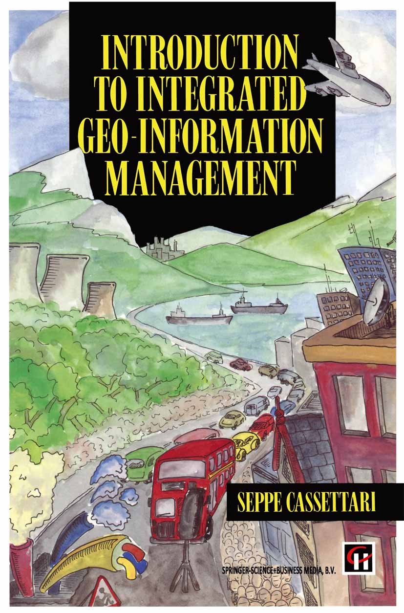
| 书目名称 | Introduction to Integrated Geo-information Management |
| 编辑 | Seppe Cassettari (Course Director for GIS studies) |
| 视频video | http://file.papertrans.cn/474/473782/473782.mp4 |
| 图书封面 |  |
| 描述 | This book was inspired by the revolution in geographical information systems during the late 1970s and 1980s which introduced to many the concept of computer-based information systems for spatially referenced data. The map, the aerial photograph and the satellite image were wedded to a database of textual information through the rapidly developing technology of powerful graphics workstations. This brought the skills of the geographer to a wide range of disciplines and specialists. But this book is not about the basic concepts of geographical information systems themselves. It is not about hardware or software per se, nor the integral concepts of geo-referenced data handling built into such systems; these are to be found in a growing number of introductory texts on the subject. Instead the focus of this book is on of geo-information management. the much wider issues While an understanding of the systems, their capabilities and limitations is necessary, of greater importance to the long term application of geographical understanding to problem solving is the wider context of information handling. Spatial data are becoming increasingly important in understanding the issues that confro |
| 出版日期 | Book 1993 |
| 关键词 | GIS; Geoinformationssysteme; cartography; geographic data; geographical information system; photogrammetr |
| 版次 | 1 |
| doi | https://doi.org/10.1007/978-94-011-1504-9 |
| isbn_softcover | 978-0-412-48900-6 |
| isbn_ebook | 978-94-011-1504-9 |
| copyright | Seppe Cassettari 1993 |
 |Archiver|手机版|小黑屋|
派博传思国际
( 京公网安备110108008328)
GMT+8, 2026-1-3 13:16


