找回密码
 To register

QQ登录

只需一步,快速开始

扫一扫,访问微社区

Titlebook: Headway in Spatial Data Handling; 13th International S Anne Ruas (Dr.),Christopher Gold (Dr.) Conference proceedings 2008 Springer-Verlag B

[复制链接]
查看: 54209|回复: 63
发表于 2025-3-21 19:16:05 | 显示全部楼层 |阅读模式
书目名称Headway in Spatial Data Handling
副标题13th International S
编辑Anne Ruas (Dr.),Christopher Gold (Dr.)
视频video
概述High level and current research work in GIS.Includes supplementary material:
丛书名称Lecture Notes in Geoinformation and Cartography
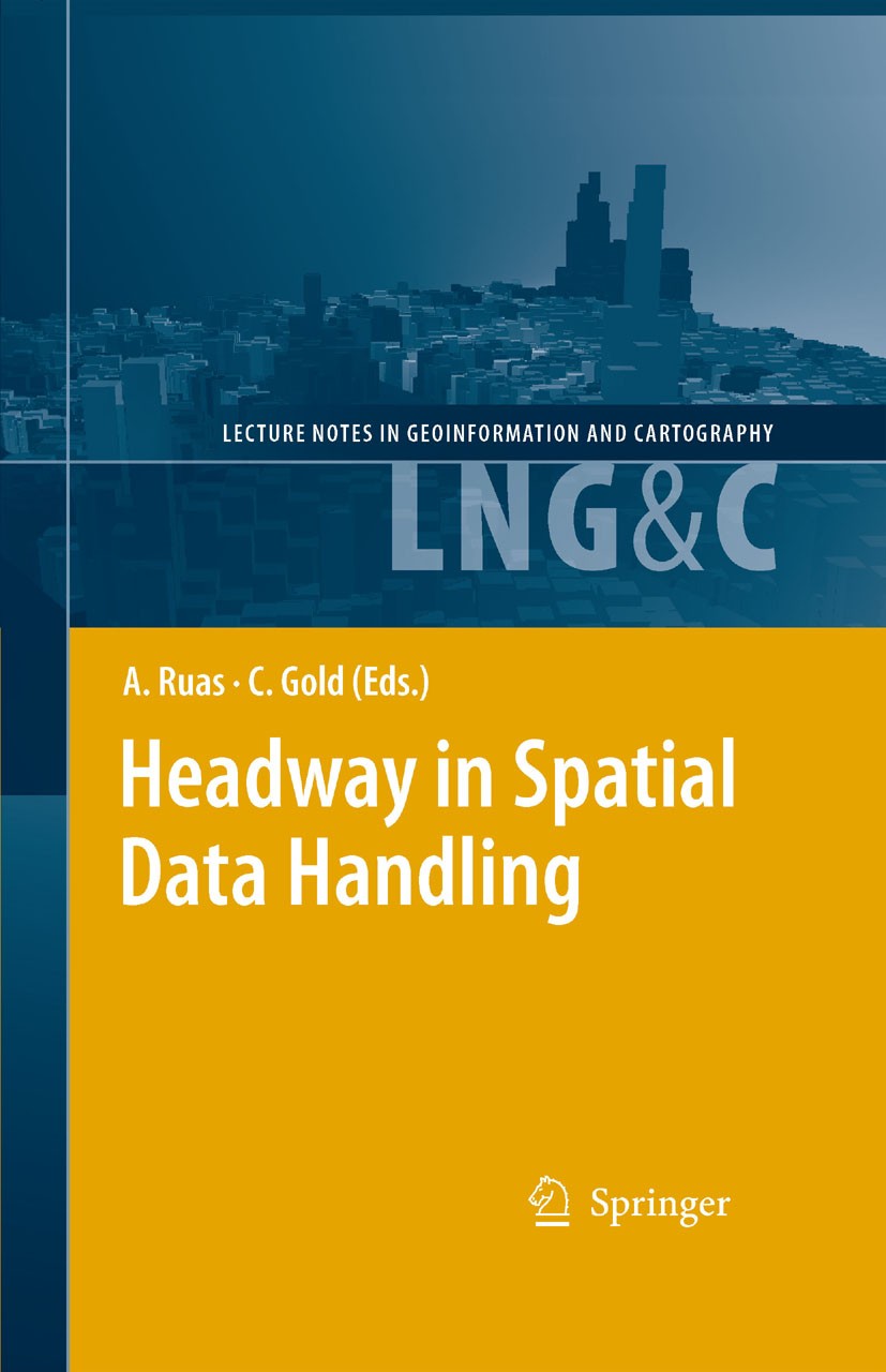
图书封面Titlebook: Headway in Spatial Data Handling; 13th International S Anne Ruas (Dr.),Christopher Gold (Dr.) Conference proceedings 2008 Springer-Verlag B
描述Geographic information is a key element for our modern society. Put s- ply, it is information whose spatial (and often temporal) location is fun- mental to its value, and this distinguishes it from many other types of data, and analysis. For sustainable development, climate change or more simply resource sharing and economic development, this information helps to - cilitate human activities and to foresee the impact of these activities in space as well as, inversely, the impact of space on our lives. The Inter- tional Symposium on Spatial Data Handing (SDH) is a primary research forum where questions related to spatial and temporal modelling and analysis, data integration, visual representation or semantics are raised. The first symposium commenced in 1984 in Zurich and has since been organised every two years under the umbrella of the International Geographical Union Commission on Geographical Information Science (http://www. igugis. org). Over the last 28 years, the Symposium has been held in: st 1 - Zürich, 1984 nd 2 - Seattle, 1986 rd 3 - Sydney, 1988 th 4 - Zurich, 1990 th 5 - Charleston, 1992 th 6 - Edinburgh, 1994 th 7 - Delft, 1996 th 8 - Vancouver, 1998 th 9 - Beijing, 200
出版日期Conference proceedings 2008
关键词GIS; Geoinformationssysteme; Landsat; Map; cartography; geographic data; geoinformation; geospatial; remote
版次1
doihttps://doi.org/10.1007/978-3-540-68566-1
isbn_softcover978-3-642-08809-4
isbn_ebook978-3-540-68566-1Series ISSN 1863-2246 Series E-ISSN 1863-2351
issn_series 1863-2246
copyrightSpringer-Verlag Berlin Heidelberg 2008
The information of publication is updating

书目名称Headway in Spatial Data Handling影响因子(影响力)


书目名称Headway in Spatial Data Handling影响因子(影响力)学科排名


书目名称Headway in Spatial Data Handling网络公开度


书目名称Headway in Spatial Data Handling网络公开度学科排名


书目名称Headway in Spatial Data Handling被引频次


书目名称Headway in Spatial Data Handling被引频次学科排名


书目名称Headway in Spatial Data Handling年度引用


书目名称Headway in Spatial Data Handling年度引用学科排名


书目名称Headway in Spatial Data Handling读者反馈


书目名称Headway in Spatial Data Handling读者反馈学科排名


单选投票, 共有 0 人参与投票
 

0票 0%

Perfect with Aesthetics


0票 0%

Better Implies Difficulty


0票 0%

Good and Satisfactory


0票 0%

Adverse Performance


0票 0%

Disdainful Garbage

您所在的用户组没有投票权限
发表于 2025-3-21 23:14:59 | 显示全部楼层
发表于 2025-3-22 03:23:27 | 显示全部楼层
发表于 2025-3-22 07:32:53 | 显示全部楼层
Headway in Spatial Data Handling978-3-540-68566-1Series ISSN 1863-2246 Series E-ISSN 1863-2351
发表于 2025-3-22 11:23:52 | 显示全部楼层
发表于 2025-3-22 14:04:56 | 显示全部楼层
发表于 2025-3-22 17:44:47 | 显示全部楼层
Clusters in Aggregated Health Data,h that the ratio of cases contained in R to people living in R is maximized. We propose two models that differ on how to determine the cases in R, together with several variants and extensions, and give algorithms that solve the problems efficiently.
发表于 2025-3-22 21:22:28 | 显示全部楼层
发表于 2025-3-23 02:48:12 | 显示全部楼层
Combining Three Multi-agent Based Generalisation Models: AGENT, CartACom and GAEL, their constraint modelling and their agent coordination model. Three complementary ways of combining these models are proposed: separate use on separate zones, “interlaced” sequential use on the same zone, and shared use of data internal to the models. The last one is further investigated and a partial re-engineering of the models is proposed.
发表于 2025-3-23 07:06:22 | 显示全部楼层
Implementation of Building Reconstruction Algorithm Using Real World LIDAR Data, building blocks and identify the roof structures with the use of the Delaunay Triangulation and its dual Voronoi diagram and simulated data was used to illustrate the algorithm. This paper shows the implementation of the method using real world ALS data.
 关于派博传思  派博传思旗下网站  友情链接
派博传思介绍 公司地理位置 论文服务流程 影响因子官网 SITEMAP 大讲堂 北京大学 Oxford Uni. Harvard Uni.
发展历史沿革 期刊点评 投稿经验总结 SCIENCEGARD IMPACTFACTOR 派博系数 清华大学 Yale Uni. Stanford Uni.
|Archiver|手机版|小黑屋| 派博传思国际 ( 京公网安备110108008328) GMT+8, 2025-5-11 12:52
Copyright © 2001-2015 派博传思   京公网安备110108008328 版权所有 All rights reserved
快速回复 返回顶部 返回列表