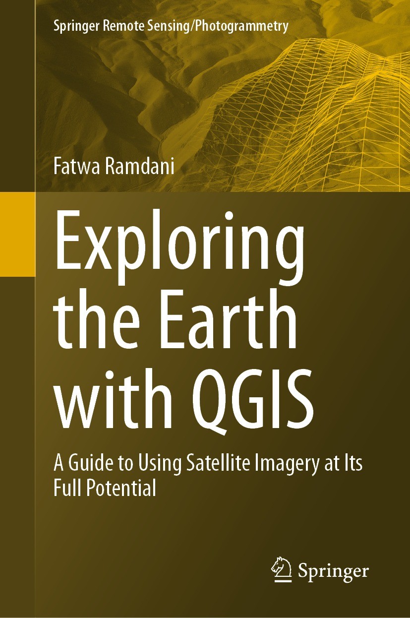
| 书目名称 | Exploring the Earth with QGIS |
| 副标题 | A Guide to Using Sat |
| 编辑 | Fatwa Ramdani |
| 视频video | http://file.papertrans.cn/320/319630/319630.mp4 |
| 概述 | Helps researchers and practitioners process and analyze satellite imagery using QGIS.Discusses the integration of remote sensing data with other spatial datasets.Provides readers with practical exampl |
| 丛书名称 | Springer Remote Sensing/Photogrammetry |
| 图书封面 |  |
| 描述 | .With the rapid advancements in satellite technology, earth remote sensing has become an indispensable tool for a wide range of applications, from environmental monitoring to disaster management. However, the vast amount of data generated by these satellites can be overwhelming for many researchers and practitioners who lack the necessary skills and tools to process and analyze it. This is where QGIS comes in. QGIS is a powerful, open-source Geographic Information System (GIS) software that has been extensively used in the field of earth remote sensing. It provides a user-friendly platform for processing, analyzing, and visualizing satellite imagery, enabling users to unlock the full potential of earth remote sensing data. The purpose of this book is to help researchers and practitioners who lack the necessary skills and tools to process and analyze satellite imagery using QGIS...There are several books that cover the use of QGIS for earth remote sensing, but most of them areeither too technical or too general. This book fills this gap by providing a comprehensive and user-friendly guide to using QGIS for earth remote sensing applications. It includes a range of real-world case stu |
| 出版日期 | Book 2023 |
| 关键词 | Earth remote sensing; Spatial datasets; Plugins; QGIS; Open-source GIS; Satellite imagery |
| 版次 | 1 |
| doi | https://doi.org/10.1007/978-3-031-46042-5 |
| isbn_softcover | 978-3-031-46044-9 |
| isbn_ebook | 978-3-031-46042-5Series ISSN 2198-0721 Series E-ISSN 2198-073X |
| issn_series | 2198-0721 |
| copyright | The Editor(s) (if applicable) and The Author(s), under exclusive license to Springer Nature Switzerl |
 |Archiver|手机版|小黑屋|
派博传思国际
( 京公网安备110108008328)
GMT+8, 2026-2-9 01:53


