找回密码
 To register

QQ登录

只需一步,快速开始

扫一扫,访问微社区

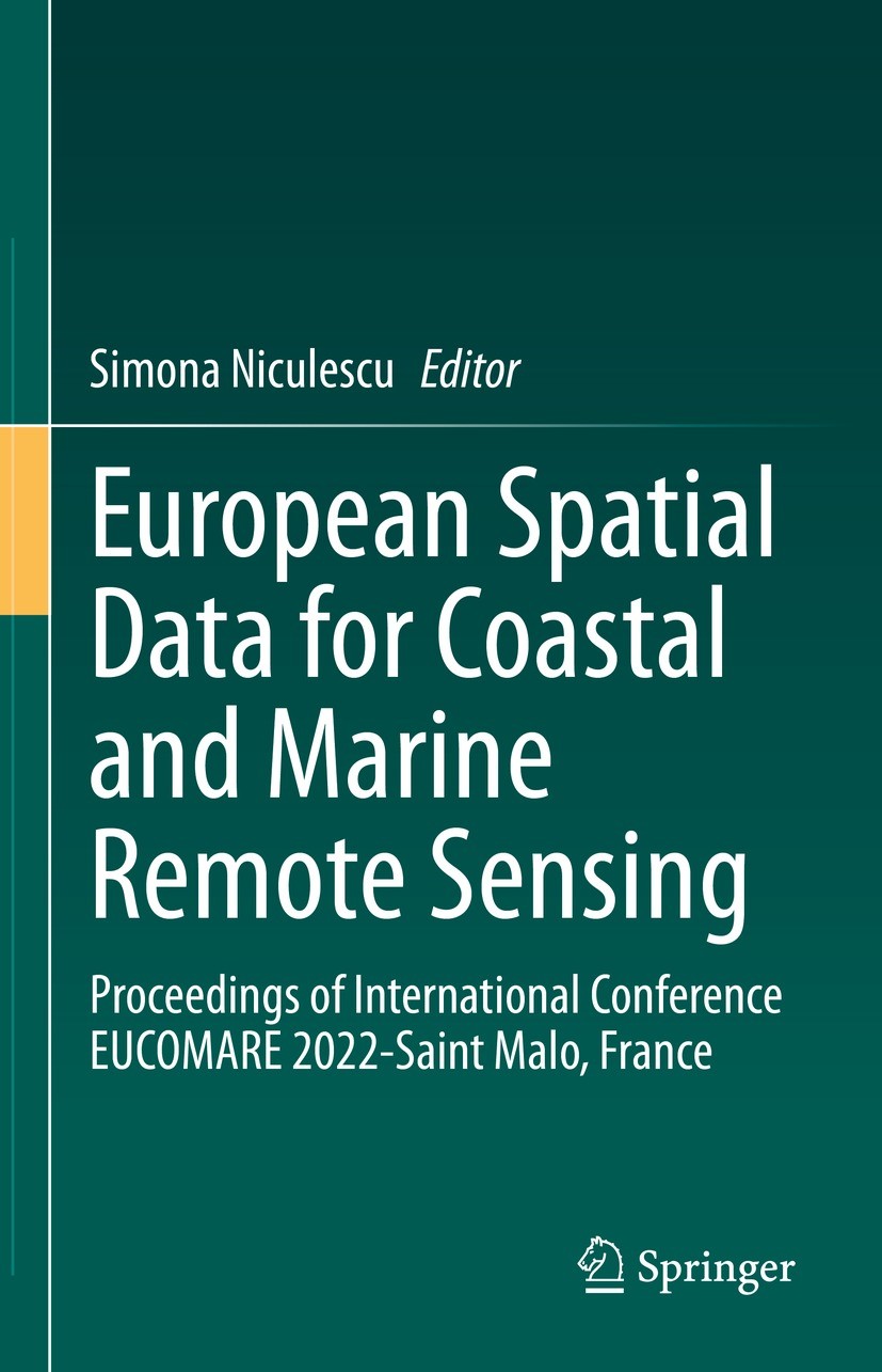
Titlebook: European Spatial Data for Coastal and Marine Remote Sensing; Proceedings of Inter Simona Niculescu Conference proceedings 2023 The Editor(s

[复制链接]
查看: 31055|回复: 58
发表于 2025-3-21 16:18:20 | 显示全部楼层 |阅读模式
书目名称European Spatial Data for Coastal and Marine Remote Sensing
副标题Proceedings of Inter
编辑Simona Niculescu
视频video
概述Promotes academic and technical exchange on coastal related studies.Discusses coastal environmental and socio-economic issues using European remotely sensed data.Provides full paper contributions in t
图书封面Titlebook: European Spatial Data for Coastal and Marine Remote Sensing; Proceedings of Inter Simona Niculescu Conference proceedings 2023 The Editor(s
描述.This volume presents full paper contributions from the International Conference of European Spatial Data for Coastal and Marine Remote Sensing (EUCOMARE) 2022, with the support of the ERASMUS+ Programme of the European Union, held in Saint Malo, France. EUCOMARE aims to promote academic and technical exchange on coastal related studies including coastal environmental and socio-economic issues, with the use of European remotely sensed data. The book is an excellent resource for scientists, engineers, and programme managers eager to learn about the recent developments and achievements in the field of remote sensing applications on marine and coastal areas. Readers will learn about recent advances in sensors‘ radiometric, spatial, temporal and spectral resolution, as well as new data processing approaches in remote sensing for monitoring and mapping the various characteristics of marine, coastal and aquatic systems..
出版日期Conference proceedings 2023
关键词Marine remote sensing; EUCOMARE 2021; Coastal zone management; Ocean-atmosphere modeling; Biodiversity; C
版次1
doihttps://doi.org/10.1007/978-3-031-16213-8
isbn_softcover978-3-031-16215-2
isbn_ebook978-3-031-16213-8
copyrightThe Editor(s) (if applicable) and The Author(s), under exclusive license to Springer Nature Switzerl
The information of publication is updating

书目名称European Spatial Data for Coastal and Marine Remote Sensing影响因子(影响力)


书目名称European Spatial Data for Coastal and Marine Remote Sensing影响因子(影响力)学科排名


书目名称European Spatial Data for Coastal and Marine Remote Sensing网络公开度


书目名称European Spatial Data for Coastal and Marine Remote Sensing网络公开度学科排名


书目名称European Spatial Data for Coastal and Marine Remote Sensing被引频次


书目名称European Spatial Data for Coastal and Marine Remote Sensing被引频次学科排名


书目名称European Spatial Data for Coastal and Marine Remote Sensing年度引用


书目名称European Spatial Data for Coastal and Marine Remote Sensing年度引用学科排名


书目名称European Spatial Data for Coastal and Marine Remote Sensing读者反馈


书目名称European Spatial Data for Coastal and Marine Remote Sensing读者反馈学科排名


单选投票, 共有 0 人参与投票
 

0票 0%

Perfect with Aesthetics


0票 0%

Better Implies Difficulty


0票 0%

Good and Satisfactory


0票 0%

Adverse Performance


0票 0%

Disdainful Garbage

您所在的用户组没有投票权限
发表于 2025-3-21 21:27:27 | 显示全部楼层
Multiscale Spatiotemporal NDVI Mapping of Salt Marshes Using Sentinel-2, Dove, and UAV Imagery in t gathering by hand. They undergo significant worldwide losses due to their conversion into crop fields and to their spatial compression between rising sea levels and armored shorelines. Their management requires multiscale spatiotemporal analysis to detect interrelated patterns and processes. This r
发表于 2025-3-22 02:55:38 | 显示全部楼层
Contribution of Near- and Mid-Infrared Wavebands to Mapping Fine-Scale Coastal Ecogeomorphological tourism facilities), provisioning services (agricultural production, pastoralism), and regulating services, including carbon sequestration and natural protection against coastal erosion and marine flooding. Therefore, mapping these coastal features with very high spatial resolution is a major challe
发表于 2025-3-22 08:14:59 | 显示全部楼层
Monitoring Land Cover Change in the Southeastern Baltic Sea Since the 1980s by Remote Sensing,use changes in the southeastern Baltic Sea coastal regions. These changes (demilitarization of the coasts, end of collective ownership, specialization of economic activities, etc.) are characterized by a fast process of coastalization with the growth of urban areas, coast suburbanization, and the de
发表于 2025-3-22 11:50:12 | 显示全部楼层
发表于 2025-3-22 14:56:16 | 显示全部楼层
发表于 2025-3-22 20:54:35 | 显示全部楼层
Assessment of Coastal Vulnerability to Erosion Risk Using Geospatial and Remote Sensing Methods (Cadergone significant socio-economic transformations due to its tourism boom. Beach tourism is extremely popular among the population, which has contributed to an intensification of coastal vulnerability, wherein the beaches are threatened with disappearance. This work aims to identify the causes of c
发表于 2025-3-22 21:32:07 | 显示全部楼层
发表于 2025-3-23 03:24:52 | 显示全部楼层
发表于 2025-3-23 08:39:24 | 显示全部楼层
 关于派博传思  派博传思旗下网站  友情链接
派博传思介绍 公司地理位置 论文服务流程 影响因子官网 SITEMAP 大讲堂 北京大学 Oxford Uni. Harvard Uni.
发展历史沿革 期刊点评 投稿经验总结 SCIENCEGARD IMPACTFACTOR 派博系数 清华大学 Yale Uni. Stanford Uni.
|Archiver|手机版|小黑屋| 派博传思国际 ( 京公网安备110108008328) GMT+8, 2025-5-22 05:28
Copyright © 2001-2015 派博传思   京公网安备110108008328 版权所有 All rights reserved
快速回复 返回顶部 返回列表