找回密码
 To register

QQ登录

只需一步,快速开始

扫一扫,访问微社区

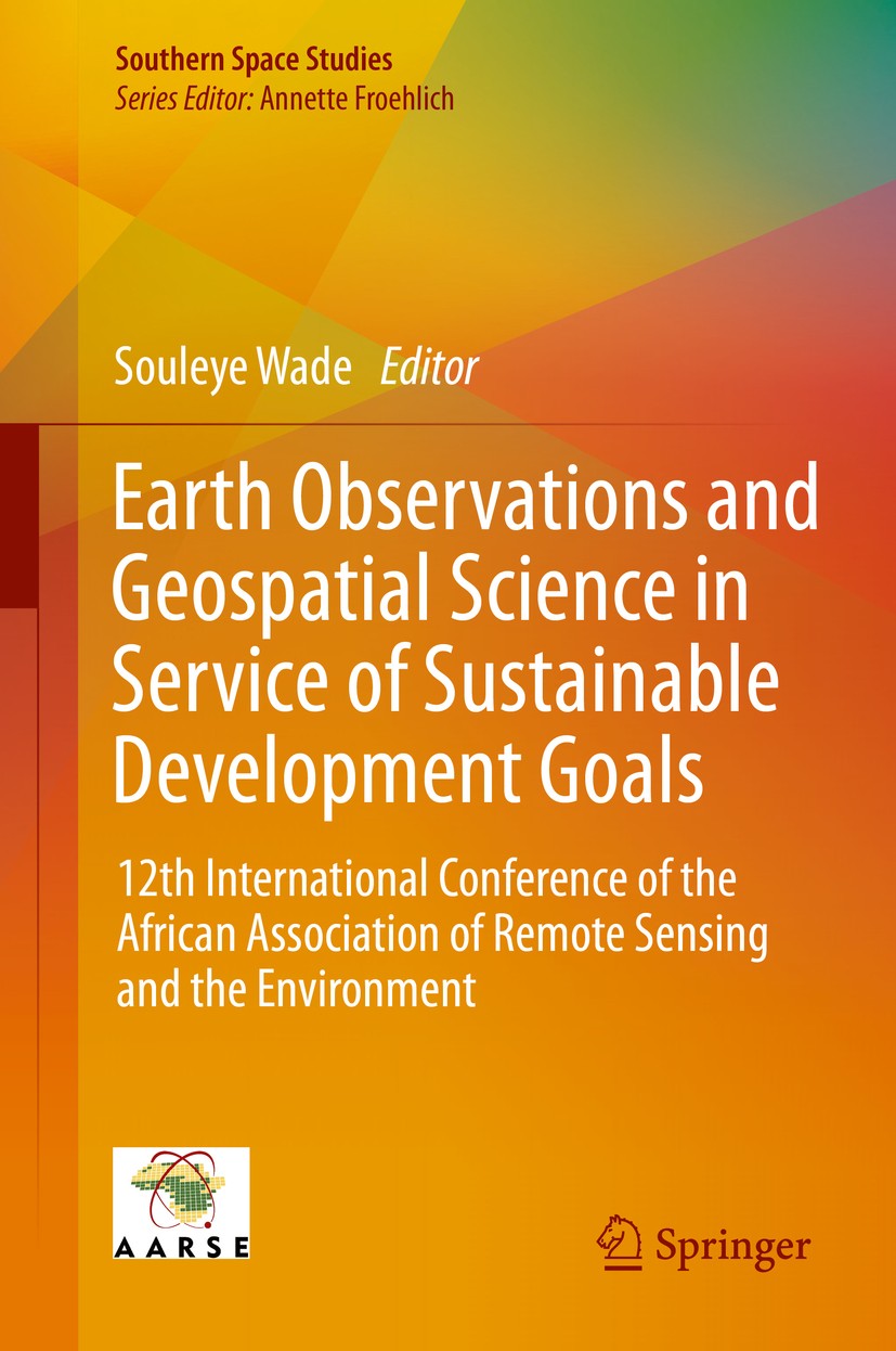
Titlebook: Earth Observations and Geospatial Science in Service of Sustainable Development Goals; 12th International C Souleye Wade Conference proceed

[复制链接]
查看: 39190|回复: 53
发表于 2025-3-21 20:06:22 | 显示全部楼层 |阅读模式
书目名称Earth Observations and Geospatial Science in Service of Sustainable Development Goals
副标题12th International C
编辑Souleye Wade
视频video
概述Presents contributions from practitioners of African countries, who best understand the needs and possibilities for sustainable development.Provides concrete examples, maps and figures from experts of
丛书名称Southern Space Studies
图书封面Titlebook: Earth Observations and Geospatial Science in Service of Sustainable Development Goals; 12th International C Souleye Wade Conference proceed
描述This book provides a unique insight into the research and recent developments undertaken among the African Remote Sensing community in regard to the environment. It includes reports of the latest research outcomes in the field of remote sensing and geospatial information technologies, analyses discussions around operational topics such as capacity building, Spatial Data Infrastructure (SDI), applications of advanced remote sensing technologies (LiDAR , Hyperspectral) in Africa, big data, space policy, and topics of high actually in the field of climate changes, ocean and coastal zone management, early warning systems, natural resources management or geospatial science for sustainable development goals. .The book comprises the contributions of the AARSE (African Association of Remote Sensing of the Environment) international conference which is conducted biennially across Africa, alternately with the AfricaGIS conference. It is the premier forum in Africa for research on remote sensing technologies and geospatial information science, gathering leading scholars from the remote sensing and related communities. The conference is co-organised by the Arab Academy of Science and Technolog
出版日期Conference proceedings 2019
关键词Earth Observations; Remote Sensing in Africa; AARSE Conference; Geospatial data; Remote sensing for clim
版次1
doihttps://doi.org/10.1007/978-3-030-16016-6
isbn_softcover978-3-030-16018-0
isbn_ebook978-3-030-16016-6Series ISSN 2523-3718 Series E-ISSN 2523-3726
issn_series 2523-3718
copyrightThe Editor(s) (if applicable) and The Author(s), under exclusive license to Springer Nature Switzerl
The information of publication is updating

书目名称Earth Observations and Geospatial Science in Service of Sustainable Development Goals影响因子(影响力)


书目名称Earth Observations and Geospatial Science in Service of Sustainable Development Goals影响因子(影响力)学科排名


书目名称Earth Observations and Geospatial Science in Service of Sustainable Development Goals网络公开度


书目名称Earth Observations and Geospatial Science in Service of Sustainable Development Goals网络公开度学科排名


书目名称Earth Observations and Geospatial Science in Service of Sustainable Development Goals被引频次


书目名称Earth Observations and Geospatial Science in Service of Sustainable Development Goals被引频次学科排名


书目名称Earth Observations and Geospatial Science in Service of Sustainable Development Goals年度引用


书目名称Earth Observations and Geospatial Science in Service of Sustainable Development Goals年度引用学科排名


书目名称Earth Observations and Geospatial Science in Service of Sustainable Development Goals读者反馈


书目名称Earth Observations and Geospatial Science in Service of Sustainable Development Goals读者反馈学科排名


单选投票, 共有 1 人参与投票
 

0票 0.00%

Perfect with Aesthetics


0票 0.00%

Better Implies Difficulty


1票 100.00%

Good and Satisfactory


0票 0.00%

Adverse Performance


0票 0.00%

Disdainful Garbage

您所在的用户组没有投票权限
发表于 2025-3-21 22:11:59 | 显示全部楼层
发表于 2025-3-22 02:22:36 | 显示全部楼层
发表于 2025-3-22 06:20:13 | 显示全部楼层
Horst Wenzel,Gottfried Heinrichn 1990 and 2017 using Geospatial techniques. Landsat TM image 1990, ETM+ 2002 and OLI-TIRS 2017 were used to generate land cover map. Field observation, Focused group discussions, Key informants interviews and remotely sensed data were used to analyze the causes and rate of land use land cover chang
发表于 2025-3-22 09:39:42 | 显示全部楼层
https://doi.org/10.1007/978-3-662-56569-8normal data collection and agricultural statistics are often not available, or of questionable accuracy. Satellite Earth observation (EO) is a powerful solution, as it can assess agricultural production in areas difficult to access and provide unbiased information on a wide range of spatial and temp
发表于 2025-3-22 15:17:14 | 显示全部楼层
Maurice Denis-Papin,Georges Cullmannal elevation model (DEM), and geographical information system (GIS) was used in the evaluation of linear, areal and relief aspects of morphometric parameters and to determine the extent of the influence of geomorphological and hydrogeological characteristics of drainage basins system on the potentia
发表于 2025-3-22 19:15:37 | 显示全部楼层
发表于 2025-3-22 23:46:24 | 显示全部楼层
Übungsaufgaben zur Strömungsmechanik 2arity which is cumbersome, expensive and limited in time and space. This prompted the exploration of satellite imagery which provides a means around these challenges. Whereas algorithms for SDD retrieval from satellite imagery have been developed, their performance has not been tested on Lake Victor
发表于 2025-3-23 03:53:42 | 显示全部楼层
发表于 2025-3-23 09:37:34 | 显示全部楼层
Lösungshinweise Metrische Räumeity in wetlands inundation extent and projected changes in climate. Given the projected global climate change over Southern Africa, it is essential to first interrogate available data on Sitatunga population and associated inundation levels in an effort to avail baseline data to be used for forecast
 关于派博传思  派博传思旗下网站  友情链接
派博传思介绍 公司地理位置 论文服务流程 影响因子官网 SITEMAP 大讲堂 北京大学 Oxford Uni. Harvard Uni.
发展历史沿革 期刊点评 投稿经验总结 SCIENCEGARD IMPACTFACTOR 派博系数 清华大学 Yale Uni. Stanford Uni.
|Archiver|手机版|小黑屋| 派博传思国际 ( 京公网安备110108008328) GMT+8, 2025-5-18 04:52
Copyright © 2001-2015 派博传思   京公网安备110108008328 版权所有 All rights reserved
快速回复 返回顶部 返回列表