找回密码
 To register

QQ登录

只需一步,快速开始

扫一扫,访问微社区

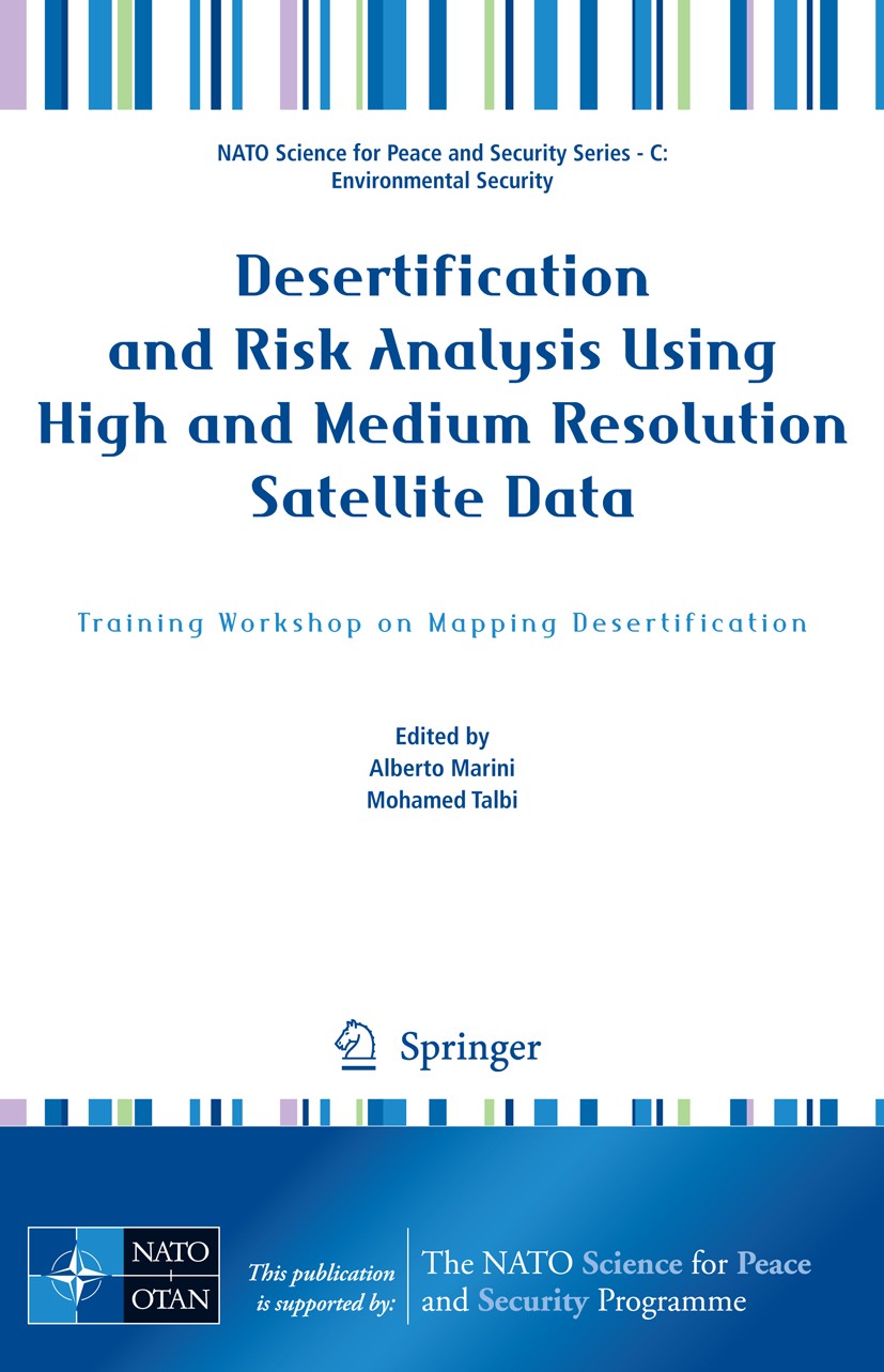
Titlebook: Desertification and Risk Analysis Using High and Medium Resolution Satellite Data; Training Workshop on Alberto Marini,Mohamed Talbi Confer

[复制链接]
查看: 7190|回复: 70
发表于 2025-3-21 16:47:10 | 显示全部楼层 |阅读模式
书目名称Desertification and Risk Analysis Using High and Medium Resolution Satellite Data
副标题Training Workshop on
编辑Alberto Marini,Mohamed Talbi
视频video
概述The description of the effects of desertification in arid lands.The feeling about desertification from North African people.The modern techniques to map from high resolution satellite data
丛书名称NATO Science for Peace and Security Series C: Environmental Security
图书封面Titlebook: Desertification and Risk Analysis Using High and Medium Resolution Satellite Data; Training Workshop on Alberto Marini,Mohamed Talbi Confer
描述This work becomes with methodological rigor a part of the innovative proposals for the characterization of the areas at risk of desertification. The complexity of the phenomenon of desertification, which involves extended surfaces in all continents, is one of the most alarming processes of the environmental degradation of our Planet and threatens the health and the living conditions of over a billion of persons. The food crisis, in continuous increase, ask for the world of research to urgently supply reassuring solutions concerning the acquisition of indicators, which are easy to monitor and concur to control the phenomenon in order to fight its acceleration. The constant but different combination that determines the diffusion of deserti- cation in the territories, attributable mostly to climatic changes and the activities of the man, makes our job challenging and complicated, since it varies from region to region. We are aware of all this and therefore we think that the methodological approach of survey of the data is an extremely important element to locate of the phenomenon and to monitor its course. This work, which is characterized for its multi-disciplinary approach, suggests
出版日期Conference proceedings 2009
关键词Atlas; Environmental; GIS; Geoinformationssysteme; NATO; PEACE; Science; Security; Sub-Series C; climate chan
版次1
doihttps://doi.org/10.1007/978-1-4020-8937-4
isbn_softcover978-1-4020-8936-7
isbn_ebook978-1-4020-8937-4Series ISSN 1874-6519 Series E-ISSN 1874-6543
issn_series 1874-6519
copyrightSpringer Science+Business Media B.V. 2009
The information of publication is updating

书目名称Desertification and Risk Analysis Using High and Medium Resolution Satellite Data影响因子(影响力)


书目名称Desertification and Risk Analysis Using High and Medium Resolution Satellite Data影响因子(影响力)学科排名


书目名称Desertification and Risk Analysis Using High and Medium Resolution Satellite Data网络公开度


书目名称Desertification and Risk Analysis Using High and Medium Resolution Satellite Data网络公开度学科排名


书目名称Desertification and Risk Analysis Using High and Medium Resolution Satellite Data被引频次


书目名称Desertification and Risk Analysis Using High and Medium Resolution Satellite Data被引频次学科排名


书目名称Desertification and Risk Analysis Using High and Medium Resolution Satellite Data年度引用


书目名称Desertification and Risk Analysis Using High and Medium Resolution Satellite Data年度引用学科排名


书目名称Desertification and Risk Analysis Using High and Medium Resolution Satellite Data读者反馈


书目名称Desertification and Risk Analysis Using High and Medium Resolution Satellite Data读者反馈学科排名


单选投票, 共有 1 人参与投票
 

0票 0.00%

Perfect with Aesthetics


0票 0.00%

Better Implies Difficulty


0票 0.00%

Good and Satisfactory


1票 100.00%

Adverse Performance


0票 0.00%

Disdainful Garbage

您所在的用户组没有投票权限
发表于 2025-3-21 21:24:37 | 显示全部楼层
发表于 2025-3-22 03:55:40 | 显示全部楼层
https://doi.org/10.1057/9780230297111onvention to Combat Desertification..Improvement of the knowledge base is widely considered as a necessary first step for addressing the relevant problems and developing appropriate solutions. Many research and data-collection activities are being implemented worldwide, mainly to better understand t
发表于 2025-3-22 05:50:04 | 显示全部楼层
The Market’s Response: Debt Swaps the stability techniques of the mobile dunes..In the light of all these methods, we present some elements of a strategy of fixing the mobile dunes in Algeria, starting from the Hodna basin and Zibans range located at the Eastern ending of the Saharian Atlas..In the Hodna basin and the area of Ziban
发表于 2025-3-22 09:26:50 | 显示全部楼层
Financial Institutions and Marketsly the climatic indexes involved (mainly drought and aridity). A Geographic Information System was therefore set up and several thematic layers related to all different indicators obtained. The study was carried out on 16 areas of Sardinia at 1:100,000 scale in collaboration with Sardinia Regional E
发表于 2025-3-22 15:27:11 | 显示全部楼层
发表于 2025-3-22 18:45:03 | 显示全部楼层
Financial Institutions and Markets data, allowing to set up methodical procedures relative to the hyper-spectral images now available; it will be also possible to develop a collection of signatures, on the earth and over the sea, for all the successive controls.
发表于 2025-3-22 22:27:34 | 显示全部楼层
发表于 2025-3-23 03:38:19 | 显示全部楼层
发表于 2025-3-23 07:01:09 | 显示全部楼层
 关于派博传思  派博传思旗下网站  友情链接
派博传思介绍 公司地理位置 论文服务流程 影响因子官网 SITEMAP 大讲堂 北京大学 Oxford Uni. Harvard Uni.
发展历史沿革 期刊点评 投稿经验总结 SCIENCEGARD IMPACTFACTOR 派博系数 清华大学 Yale Uni. Stanford Uni.
|Archiver|手机版|小黑屋| 派博传思国际 ( 京公网安备110108008328) GMT+8, 2025-5-23 01:49
Copyright © 2001-2015 派博传思   京公网安备110108008328 版权所有 All rights reserved
快速回复 返回顶部 返回列表