找回密码
 To register

QQ登录

只需一步,快速开始

扫一扫,访问微社区

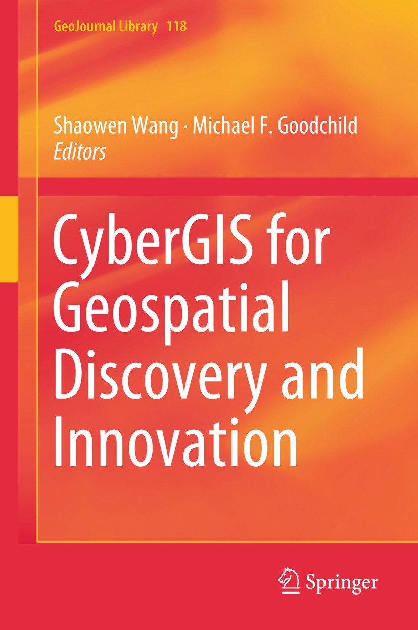
Titlebook: CyberGIS for Geospatial Discovery and Innovation; Shaowen Wang,Michael F. Goodchild Book 2019 Springer Nature B.V. 2019 CyberGIS.Big data.

[复制链接]
查看: 34504|回复: 59
发表于 2025-3-21 19:08:17 | 显示全部楼层 |阅读模式
书目名称CyberGIS for Geospatial Discovery and Innovation
编辑Shaowen Wang,Michael F. Goodchild
视频videohttp://file.papertrans.cn/242/241838/241838.mp4
概述Addresses a comprehensive list of cutting edge topics constituting the scope of CyberGIS.Provides a reference in broad fields of information and computation technologies associated social and spatial
丛书名称GeoJournal Library
图书封面Titlebook: CyberGIS for Geospatial Discovery and Innovation;  Shaowen Wang,Michael F. Goodchild Book 2019 Springer Nature B.V. 2019 CyberGIS.Big data.
描述This book elucidates how cyberGIS (that is, new-generation geographic information science and systems (GIS) based on advanced computing and cyberinfrastructure) transforms computation- and data-intensive geospatial discovery and innovation. It comprehensively addresses opportunities and challenges, roadmaps for research and development, and major progress, trends, and impacts of cyberGIS in the era of big data. The book serves as an authoritative source of information to fill the void of introducing this exciting and growing field. By providing a set of representative applications and science drivers of cyberGIS, this book demonstrates how cyberGIS has been advanced to enable cutting-edge scientific research and innovative geospatial application development. Such cyberGIS advances are contextualized as diverse but interrelated science and technology frontiers. The book also emphasizes several important social dimensions of cyberGIS such as for empowering deliberative civic engagement and enabling collaborative problem solving through structured participation. In sum, this book will be a great resource to students, academics, and geospatial professionals for leaning cutting-edge cyb
出版日期Book 2019
关键词CyberGIS; Big data; Cyberinfrastructure; Geographic information systems and science; Geospatial sciences
版次1
doihttps://doi.org/10.1007/978-94-024-1531-5
isbn_softcover978-94-024-1649-7
isbn_ebook978-94-024-1531-5Series ISSN 0924-5499 Series E-ISSN 2215-0072
issn_series 0924-5499
copyrightSpringer Nature B.V. 2019
The information of publication is updating

书目名称CyberGIS for Geospatial Discovery and Innovation影响因子(影响力)


书目名称CyberGIS for Geospatial Discovery and Innovation影响因子(影响力)学科排名


书目名称CyberGIS for Geospatial Discovery and Innovation网络公开度


书目名称CyberGIS for Geospatial Discovery and Innovation网络公开度学科排名


书目名称CyberGIS for Geospatial Discovery and Innovation被引频次


书目名称CyberGIS for Geospatial Discovery and Innovation被引频次学科排名


书目名称CyberGIS for Geospatial Discovery and Innovation年度引用


书目名称CyberGIS for Geospatial Discovery and Innovation年度引用学科排名


书目名称CyberGIS for Geospatial Discovery and Innovation读者反馈


书目名称CyberGIS for Geospatial Discovery and Innovation读者反馈学科排名


单选投票, 共有 1 人参与投票
 

0票 0.00%

Perfect with Aesthetics


1票 100.00%

Better Implies Difficulty


0票 0.00%

Good and Satisfactory


0票 0.00%

Adverse Performance


0票 0.00%

Disdainful Garbage

您所在的用户组没有投票权限
发表于 2025-3-21 22:01:51 | 显示全部楼层
Coupling Traffic and Gas Dispersion Simulation for Atmospheric Pollution Estimationstimate atmospheric pollution for different scenarios. The combination of these two simulation models allows for detailed investigations of different situations such as the investigation of pollution impacts of different traffic infrastructure variants, as well as for prediction of expected pollutio
发表于 2025-3-22 03:51:40 | 显示全部楼层
发表于 2025-3-22 05:59:56 | 显示全部楼层
发表于 2025-3-22 08:53:38 | 显示全部楼层
发表于 2025-3-22 15:24:01 | 显示全部楼层
发表于 2025-3-22 20:30:07 | 显示全部楼层
发表于 2025-3-22 22:59:37 | 显示全部楼层
发表于 2025-3-23 02:21:16 | 显示全部楼层
发表于 2025-3-23 06:07:08 | 显示全部楼层
A Smart Service-Oriented CyberGIS Framework for Solving Data-Intensive Geospatial Problemsy of geospatial data. We describe a service-oriented architecture to make heterogeneous geospatial resources easily sharable and interoperable. OGC standards for sharing vector data, raster data, sensor observation data etc. are adopted in such an infrastructure because of their widespread popularit
 关于派博传思  派博传思旗下网站  友情链接
派博传思介绍 公司地理位置 论文服务流程 影响因子官网 吾爱论文网 大讲堂 北京大学 Oxford Uni. Harvard Uni.
发展历史沿革 期刊点评 投稿经验总结 SCIENCEGARD IMPACTFACTOR 派博系数 清华大学 Yale Uni. Stanford Uni.
QQ|Archiver|手机版|小黑屋| 派博传思国际 ( 京公网安备110108008328) GMT+8, 2025-8-26 05:00
Copyright © 2001-2015 派博传思   京公网安备110108008328 版权所有 All rights reserved
快速回复 返回顶部 返回列表