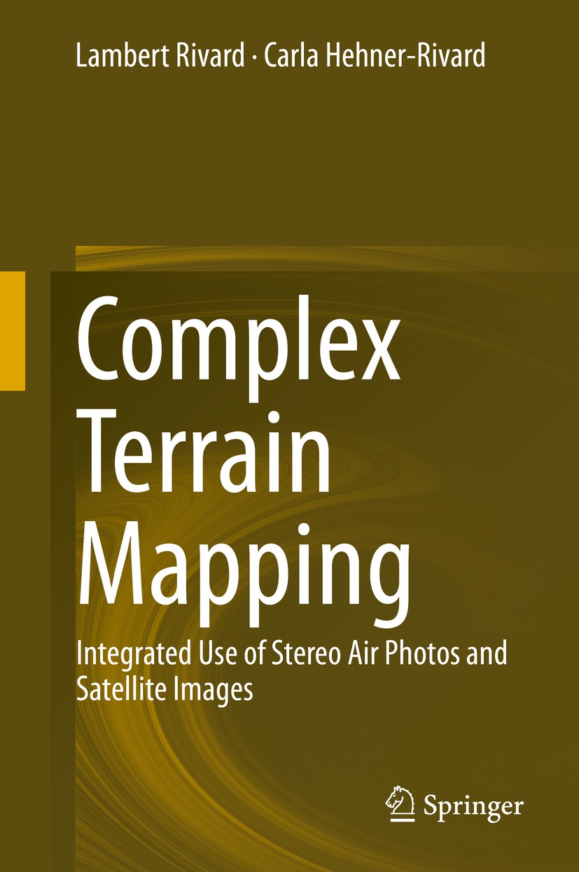
| 书目名称 | Complex Terrain Mapping |
| 副标题 | Integrated Use of St |
| 编辑 | Lambert Rivard,Carla Hehner-Rivard |
| 视频video | http://file.papertrans.cn/232/231597/231597.mp4 |
| 概述 | First comprehensive documentation of the concept of complex terrain.Integration of satellite imagery and air photos.Mono and stereo air photo viewing at a glance |
| 图书封面 |  |
| 描述 | A review of five major categories of lithogenetic and morphogenetic terrain types meet the complex terrain criteria: landslides, field photos of slope failures, bedrocks, nonglacial surficial deposits, glacial and alpine-glacial, and periglacial. Interpretations are based on personal knowledge and available background materials. This monograph documents a concept of complex terrains with the use of 208 illustrations, including 64 analyzed and extensively commented examples of stereo-pair air photos and 64 related satellite images. |
| 出版日期 | Book 2014 |
| 关键词 | Complex Terrain; Stereo Air Photos; Stereo Satellite Images |
| 版次 | 1 |
| doi | https://doi.org/10.1007/978-3-319-02450-9 |
| isbn_softcover | 978-3-319-35239-8 |
| isbn_ebook | 978-3-319-02450-9 |
| copyright | Springer International Publishing Switzerland 2014 |
 |Archiver|手机版|小黑屋|
派博传思国际
( 京公网安备110108008328)
GMT+8, 2026-1-26 20:02


