找回密码
 To register

QQ登录

只需一步,快速开始

扫一扫,访问微社区

Titlebook: China Satellite Navigation Conference (CSNC) 2014 Proceedings: Volume I; Jiadong Sun,Wenhai Jiao,Mingquan Lu Conference proceedings 2014 S

[复制链接]
查看: 21888|回复: 64
发表于 2025-3-21 16:32:31 | 显示全部楼层 |阅读模式
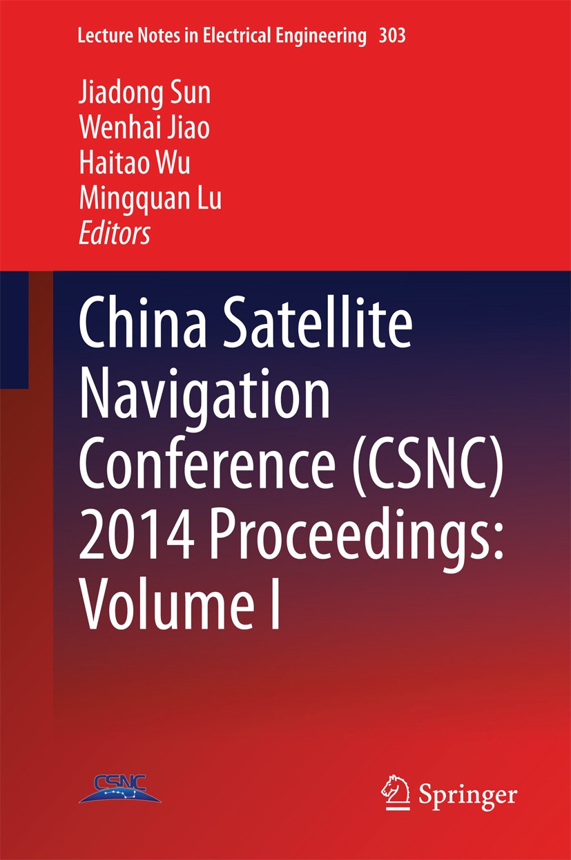
书目名称China Satellite Navigation Conference (CSNC) 2014 Proceedings: Volume I
编辑Jiadong Sun,Wenhai Jiao,Mingquan Lu
视频video
概述Collections of CSNC2014 papers.Achievements and progress of BDS.Latest studies of Global Navigation Satellite System in China.Hot topics in Global Navigation Satellite System.Includes supplementary ma
丛书名称Lecture Notes in Electrical Engineering
图书封面Titlebook: China Satellite Navigation Conference (CSNC) 2014 Proceedings: Volume I;  Jiadong Sun,Wenhai Jiao,Mingquan Lu Conference proceedings 2014 S
描述.China Satellite Navigation Conference (CSNC) 2014 Proceedings .presents selected research papers from CSNC2014, held on 21-23 May in Nanjing, China. The theme of CSNC2014 is ‘BDS Application: Innovation, Integration and Sharing‘. These papers discuss the technologies and applications of the Global Navigation Satellite System (GNSS) and the latest progress made in the China BeiDou System (BDS) especially. They are divided into 9 topics to match the corresponding sessions in CSNC2014, which broadly covered key topics in GNSS. Readers can learn about the BDS and keep abreast of the latest advances in GNSS techniques and applications..SUN Jiadong. is the Chief Designer of the Compass/ BDS, and the Academician of Chinese Academy of Sciences (CAS); .JIAO Wenhai. is a researcher at China Satellite Navigation Office; .WU Haitao .is a professor at Navigation Headquarters, CAS; .LU Mingquan .is a professor at Department of Electronic Engineering of Tsinghua University..
出版日期Conference proceedings 2014
关键词BeiDou System (BDS); CSNC2014; GNSS; Satellite Navigation
版次1
doihttps://doi.org/10.1007/978-3-642-54737-9
isbn_softcover978-3-662-52561-6
isbn_ebook978-3-642-54737-9Series ISSN 1876-1100 Series E-ISSN 1876-1119
issn_series 1876-1100
copyrightSpringer-Verlag Berlin Heidelberg 2014
The information of publication is updating

书目名称China Satellite Navigation Conference (CSNC) 2014 Proceedings: Volume I影响因子(影响力)


书目名称China Satellite Navigation Conference (CSNC) 2014 Proceedings: Volume I影响因子(影响力)学科排名


书目名称China Satellite Navigation Conference (CSNC) 2014 Proceedings: Volume I网络公开度


书目名称China Satellite Navigation Conference (CSNC) 2014 Proceedings: Volume I网络公开度学科排名


书目名称China Satellite Navigation Conference (CSNC) 2014 Proceedings: Volume I被引频次


书目名称China Satellite Navigation Conference (CSNC) 2014 Proceedings: Volume I被引频次学科排名


书目名称China Satellite Navigation Conference (CSNC) 2014 Proceedings: Volume I年度引用


书目名称China Satellite Navigation Conference (CSNC) 2014 Proceedings: Volume I年度引用学科排名


书目名称China Satellite Navigation Conference (CSNC) 2014 Proceedings: Volume I读者反馈


书目名称China Satellite Navigation Conference (CSNC) 2014 Proceedings: Volume I读者反馈学科排名


单选投票, 共有 1 人参与投票
 

0票 0.00%

Perfect with Aesthetics


0票 0.00%

Better Implies Difficulty


1票 100.00%

Good and Satisfactory


0票 0.00%

Adverse Performance


0票 0.00%

Disdainful Garbage

您所在的用户组没有投票权限
发表于 2025-3-21 20:44:44 | 显示全部楼层
Analysis of Polar Ionospheric Scintillation Characteristics Based on GPS Dataitoring has been drawn more attention. Based on ionospheric scintillation monitoring data at South Pole station in Antarctica, we are able to investigate ionospheric scintillation characteristics over there. Through analyzing scintillation data of 354 days at this site in the year of 2011 we can est
发表于 2025-3-22 02:19:28 | 显示全部楼层
发表于 2025-3-22 07:06:51 | 显示全部楼层
Implementation of GNSS Attitude Determination Receiverwhich are driven by the same one crystal oscillator, so it has a better correlation between different signal paths. Receiver baseband signal processing is divided into Master RF signal path and Slaver RF signal path. The Master RF signal path completes acquisition and tracking task and the Slaver RF
发表于 2025-3-22 09:43:33 | 显示全部楼层
Application of Geo-image to Vehicle Navigationnted background data. It provides users with intuitive, rich navigation background information, thereby enhancing the navigation visual effect. The paper shows the concept and characteristics of geo-image navigation. To improve the response speed, the organization of geo-image data in server–side of
发表于 2025-3-22 16:21:15 | 显示全部楼层
A Correlate-Based GPS Multipath Time Delay Estimation Algorithmrove the positioning accuracy of navigation system. However, due to the reference station and the user’s geographical location is different; Differential GPS (DGPS) system still does not eliminate multipath effects of the satellite signal. The conventional narrow correlator method can reduce positio
发表于 2025-3-22 17:59:25 | 显示全部楼层
Based on BeiDou (COMPASS) Build the Environmental Protection Services System of Hainan Marine Fisher marine fisheries production safety, making direct services to all types of marine fishery production safety environment thematic services and products, through the BeiDou system sends real-time to the majority of maritime operations fishing boats and fishermen in the hands, enhancing the overall se
发表于 2025-3-22 22:35:56 | 显示全部楼层
发表于 2025-3-23 03:16:11 | 显示全部楼层
Simulations and Analysis of BeiDou Navigation Satellite System (BDS)-Relectometry Delay-Doppler Mapsnse the geophysical parameters of the ocean and land surface. Some initial results were obtained from GPS-R in ocean surface characteristics and soil moisture, while, vegetation sensing is paid attention recently. With the development of Chinese independent Beidou Satellite Navigation System (BDS),
发表于 2025-3-23 05:42:44 | 显示全部楼层
 关于派博传思  派博传思旗下网站  友情链接
派博传思介绍 公司地理位置 论文服务流程 影响因子官网 SITEMAP 大讲堂 北京大学 Oxford Uni. Harvard Uni.
发展历史沿革 期刊点评 投稿经验总结 SCIENCEGARD IMPACTFACTOR 派博系数 清华大学 Yale Uni. Stanford Uni.
|Archiver|手机版|小黑屋| 派博传思国际 ( 京公网安备110108008328) GMT+8, 2025-5-6 16:19
Copyright © 2001-2015 派博传思   京公网安备110108008328 版权所有 All rights reserved
快速回复 返回顶部 返回列表