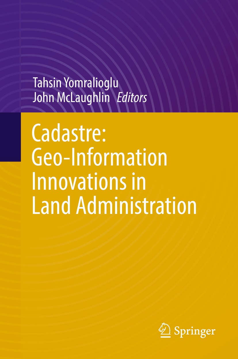
| 书目名称 | Cadastre: Geo-Information Innovations in Land Administration | | 编辑 | Tahsin Yomralioglu,John McLaughlin | | 视频video | http://file.papertrans.cn/221/220728/220728.mp4 | | 概述 | Explores recent cadastre and land administration aspects and research findings on a global scale by focusing on the role of cadastre in advancing a society’s economic and social agenda.Includes the la | | 图书封面 |  | | 描述 | This book highlights the latest improvements in cadastre with examples and case studies from various parts of the world. Authors from different continents, in association with national and international organizations and societies, present the most comprehensive forum to date for cadastre, offering a broad overview of land administration and contemporary perspectives on current research and developments, including surveying, land management, remote sensing and geo-information sciences. .Cadastre is a universal concept and is defined as “the work of officially mapping and systemically registering the areas, borders and values of all kinds of land and property”. It is normally a parcel-based and up-to-date land information system containing a record of interests in land with rights, restrictions and responsibilities. It may be established for fiscal and legal purposes, to assist in management for better planning and other administrative purposes, and to enable sustainable development and environmental protection. As such, “cadastre” is an important public inventory documenting the records of ownership, bordering and responsibility regarding the land with “title deeds” to parcels and | | 出版日期 | Book 2017 | | 关键词 | Cadastre and land adminstration; Land registration and GIS; Land administration remote sensing; 3D Cada | | 版次 | 1 | | doi | https://doi.org/10.1007/978-3-319-51216-7 | | isbn_ebook | 978-3-319-51216-7 | | copyright | Capital Publishing Company 2017 |
The information of publication is updating

|
|
 |Archiver|手机版|小黑屋|
派博传思国际
( 京公网安备110108008328)
GMT+8, 2026-1-26 12:01


